Kenting National Park things to do, attractions, restaurants, events info and trip planning
Basic Info
Kenting National Park
Pingtung County, Taiwan
4.5(8K)
Closed
Save
spot
spot
Ratings & Description
Info
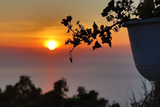
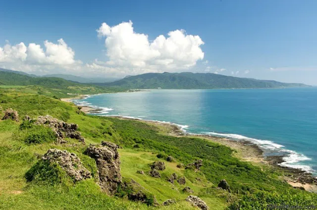
Kenting National Park occupies the Hengchun Peninsula at the southern tip of the island of Taiwan. It’s known for its white-sand beaches, caves, coral reefs & northern mountains. The park’s main resort, Kenting Town, is home to restaurants, street-food stalls, bars and nightlife. The Frog Rock outcrop and the jagged, 318m Dajianshan peak overlook the resort.
Outdoor
Adventure
Scenic
Family friendly
Pet friendly
attractions: Shiniu Beach, restaurants: , local businesses:
Phone
+886 8 886 1321
Website
ktnp.gov.tw
Open hoursSee all hours
Sat9 AM - 5 PMClosed
Plan your stay

Pet-friendly Hotels in Hengchun
Find a cozy hotel nearby and make it a full experience.

Affordable Hotels in Hengchun
Find a cozy hotel nearby and make it a full experience.

The Coolest Hotels You Haven't Heard Of (Yet)
Find a cozy hotel nearby and make it a full experience.

Trending Stays Worth the Hype in Hengchun
Find a cozy hotel nearby and make it a full experience.
Reviews
Nearby attractions of Kenting National Park
Shiniu Beach
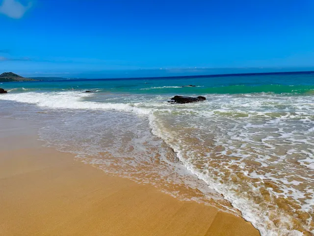
Shiniu Beach
4.4
(22)
Open 24 hours
Click for details