Tough hike in the Ceraunian Mountain range.
Let me break it down:
We (m, 26; f, 24) started at around 6:30am from the Parking opposite to Bar Restorant Dervishalliu. Parking costs 500 Lek (5€) for the entire day and can be purchased inside the restaurant. Since we started early, we already paid the day before.
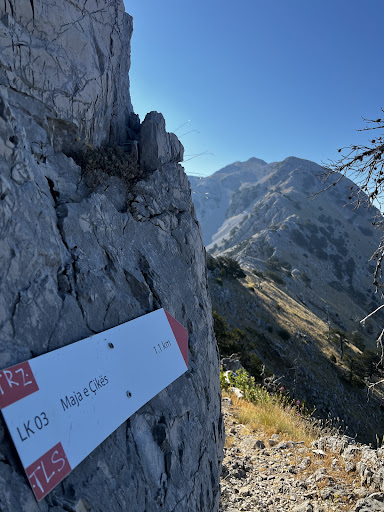
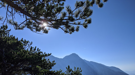
There is two different routes for the beginning 20 minutes (see image). I would highly recommend to choose the 'left route' as it passes through beautiful forest and has a better & clearer trail. Once you have reached the photo spot, the two trails combine.
From there, it's a nice walk all the way up a junction where you either continue to get to Maja e Qorës or cross over to Maja e Çikës. We chose the latter and continued on the 'ridge' towards Maja e Çikës.
You might think, that you have done the heavy duty, once you have gotten to 1900m in altitude but the cross over to Maja e Çikës took us longer than expected and included many ups and downs. Overall, Strava estimated a total of 1335m in altitude.
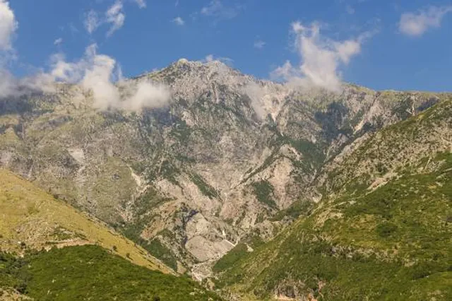
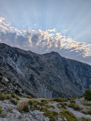
The final push to the summit, includes another 250m in altitude, but once you have gotten through this, you get rewarded with a lovely 360° view of the coastline of Albanian as well as the inland. A really beautiful panorama.
Three aspects I want to mention:
(1) Start early, take sunscreen & take enough water. There are no water stations to fill up your bottles. We had 2.5 liters in a camel pack each and could have used even more if we had it.
(2) If you're doing the hike to Maja e Çikës just for the view, it's not worth it. There are plenty of stunning viewpoints along the way to Maja e Qorës. Only continue to Maja e Çikës if you're looking for the challenge - it’s a long, exhausting trek that doesn’t offer much more in terms of scenery.
(3) After an hour into our trip we were joined by this beautiful, extremely fit white dog who joined us for the entire trip until we reached the summit and eventually parking again. Since he was wearing no collar, I don't know whether he belongs to someone or not but he definitely knew his way up and even showed us the way a couple of times when the track was not super visible. A really lovely experience 🐕
Timings:
Parking - Maja e Qorës 2h00
Maja e Qorës - Maja e Çikës 2h00 (4h00 total)
Break 0h30
Maja e Çikës - Parking 3h30...
Read more