Vall del Madriu-Perafita-Claror things to do, attractions, restaurants, events info and trip planning
Basic Info
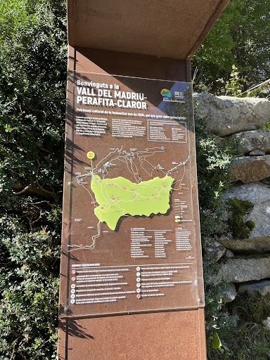
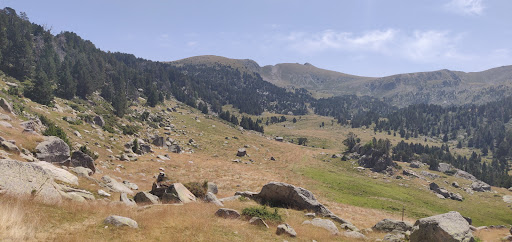
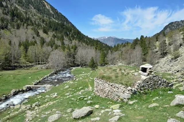
Vall del Madriu-Perafita-Claror
c/Prat de la creu 74-76 baixos, AD500 Andorra la Vella, Andorra
4.7(208)
Open 24 hours
Save
spot
spot
Ratings & Description
Info
Outdoor
Adventure
Scenic
Off the beaten path
attractions: , restaurants: , local businesses:
Phone
+376 823 000
Website
madriu-perafita-claror.ad
Plan your stay

Pet-friendly Hotels in Escaldes-Engordany
Find a cozy hotel nearby and make it a full experience.

Affordable Hotels in Escaldes-Engordany
Find a cozy hotel nearby and make it a full experience.

The Coolest Hotels You Haven't Heard Of (Yet)
Find a cozy hotel nearby and make it a full experience.

Trending Stays Worth the Hype in Escaldes-Engordany
Find a cozy hotel nearby and make it a full experience.