Parque Nacional Perito Moreno things to do, attractions, restaurants, events info and trip planning
Basic Info
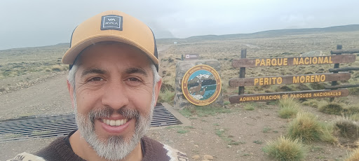
Parque Nacional Perito Moreno
Bosque Patagónico, Santa Cruz, Argentina
4.8(210)
Open until 7:00 PM

tickets
Save
spot
spot
Ratings & Description
Info
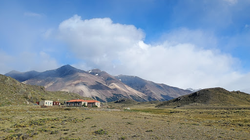
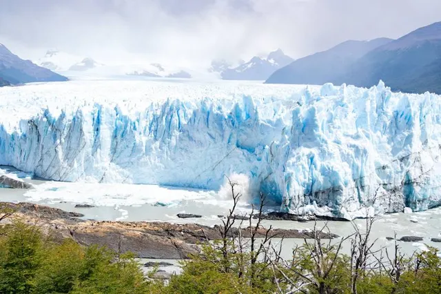
Perito Moreno National Park is a national park in Argentina. It is located in the western region of Santa Cruz Province on the border with Chile. It has an area of 126,830 hectares of mountains and valleys at a height of 900 metres above sea level.
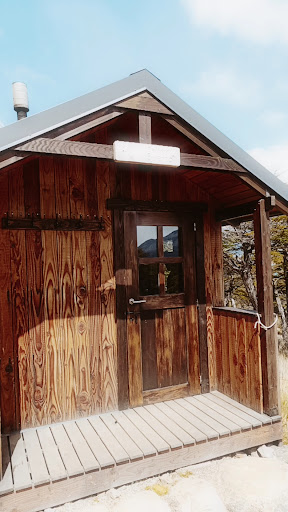
Outdoor
Adventure
Scenic
Family friendly
Off the beaten path
attractions: , restaurants: , local businesses:
Phone
+54 2962 49-1477
Website
argentina.gob.ar
Open hoursSee all hours
Sat8 AM - 7 PMOpen
Plan your stay

Pet-friendly Hotels in Santa Cruz Province
Find a cozy hotel nearby and make it a full experience.

Affordable Hotels in Santa Cruz Province
Find a cozy hotel nearby and make it a full experience.

The Coolest Hotels You Haven't Heard Of (Yet)
Find a cozy hotel nearby and make it a full experience.

Trending Stays Worth the Hype in Santa Cruz Province
Find a cozy hotel nearby and make it a full experience.