
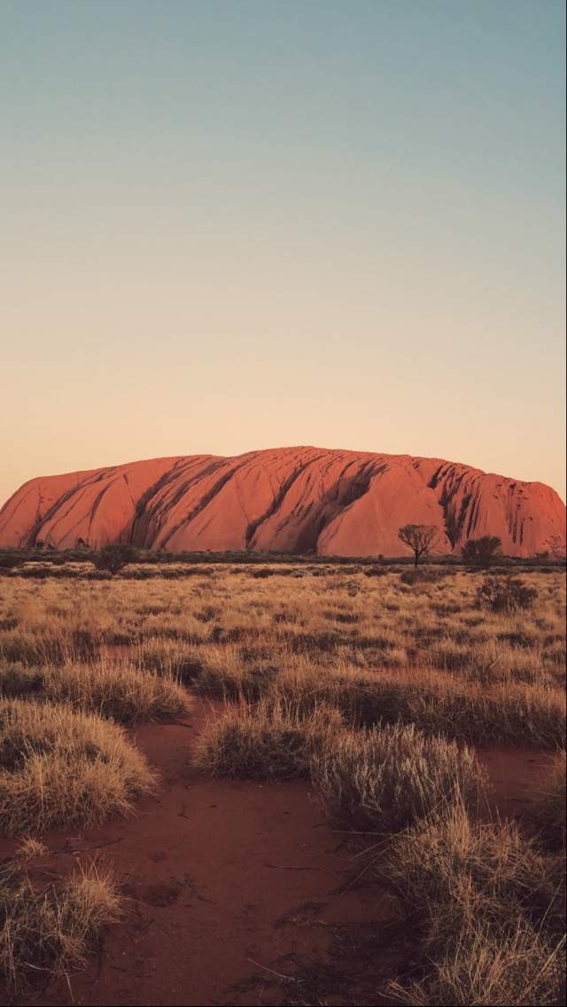
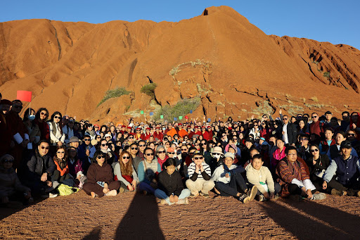
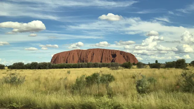
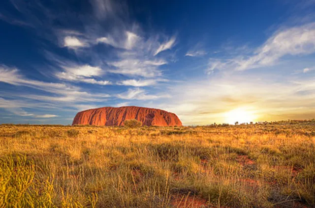
Uluṟu-Kata Tjuṯa National Park, located in the Northern Territory of Australia, is a place of awe-inspiring natural beauty and cultural significance. Let me share some fascinating details about this remarkable park:
Uluru (Ayers Rock):
Uluru, also known as Ayers Rock, is one of Australia’s most recognizable landmarks. This sandstone monolith stands 348 meters (1,142 feet) high, with most of its bulk hidden below the ground.
To the Anangu, the local indigenous people, Uluru is a place name with deep spiritual significance. It is associated with numerous ancestral beings and their interactions with the landscape.
Uluru is listed as a UNESCO World Heritage Site for its natural and cultural value.
Kata Tjuta (The Olgas):
Kata Tjuta, also known as The Olgas, is another striking feature within the park. It consists of 36 conglomerate rock domes that date back an astonishing 500 million years.
For the Anangu, Kata Tjuta holds sacred knowledge and power. It is considered dangerous and powerful, accessible only to initiated men.
The name “Kata Tjuta” means “many heads” in the local Aboriginal language.
Anangu Connection:
The Anangu are the traditional Aboriginal owners of Uluru-Kata Tjuta National Park. They believe that their culture was created by ancestral beings at the beginning of time.
Uluru and Kata Tjuta provide physical evidence of the feats performed during the creation period.
Anangu often lead walking tours, sharing insights about local flora, fauna, bush foods, and the Aboriginal Dreamtime stories associated with the area.
Location and Access:
The park is situated 1,943 kilometers (1,207 miles) south of Darwin by road and 440 kilometers (270 miles) southwest of Alice Springs.
Uluru-Kata Tjuta National Park covers an area of 1,326 square kilometers (512 square miles) and includes both Uluru and Kata Tjuta.
UNESCO Recognition:
The park was inscribed as a UNESCO World Heritage Site in 1987 for its cultural and natural significance.
If you ever have the opportunity to visit, immerse yourself in the ancient wisdom, diverse ecosystems, and breathtaking landscapes of Uluṟu-Kata Tjuṯa...
Read moreKata Tjuta: Sunset really accentuates the red rocks. There is only one toilet at Kata Tjuta. So time your visits to the walks accordingly. There are water refill stations along the walk and also at the start of Walpa Gorge walk. The walks are not smooth like at Uluru base walks. Be careful not to turn your ankles as it's very stony. There is one very steep rock face to get to the 2nd lookout. And a very steep one down - so we didn't do the complete loop but just the return walk. The estimate for round trips are not on the generous side - I made a lot of stops so I would have easily added another half hour or more to the approximate time for the 2nd lookout. Kata Tjuta is made of rocky conglomerate while Uluru appears to be of a more even compact structure - but that's just as a casual observer. You are NOT allowed to take photos at the two main viewing points of Valley of the Winds - Karu and Karingana. If I had known that I might have left my heavy camera behind and stuck to my phone. However on this trip in mid August and after some rain they had, the place had plentiful beautiful colorful flowers all the way up to Karu lookout I had not seen anywhere else, so if you're into flora, bring that camera along.
The Kata Tjuta dune viewing area with sheltered platforms is definitely worth stopping by. There are information plates here to help you appreciate the landscape and environment.
Uluru: The car sunset viewing area is a magnificent spot for viewing the rock! Definitely worth the visit! Lots of beautiful fragrant flowers here.
Don't miss the Mala guided Walk in the morning.
The base walk around the rock is flat and gentle. The maps are helpful in helping you work out which walks to do.
It's a 40 minute drive between the two places. Plan to spend a few days at Uluru and one at Kata Tjuta if you come when it is possible to walk...
Read moreI'm rating it one star because of the extremely poor management. The woman at the entrance provided us with a map that was useless, illegible, and misleading. We drove in circles around the seemingly endless roundabouts with no proper directions in English. Even the pathways were not marked properly, leaving you to simply guess whether or not you are in the right direction. We were told to go for the shortest walk to view the caves, and yet it took us an hour to decipher the map along with 3 other people's blind guidance just as confused as we were. The ONLY person who knew how to somewhat guide us there was an old man sitting at a bench, sketching portraits. Even the worker at the cultural centre there claimed to be 'confused and she works there every day', none of them had a clue on the caves whereabouts. The second reason why I rated it 1 star is because of the enterance fee into the park. It's a total rip-off, in the first place, and forces you to buy an overpriced 3-day ticket that, in my case, was only a few hours stay, and money wasted on a ticket that lasts longer. Shame on all of them for running it so poorly because tourists DO want to come here, and yet, they're led into a confusing experience when they're on a tight schedule. We travelled all the way from Victoria, which is nearly more than 2,000km on poor road conditions, with Diesel priced at almost 3$ a litre in 2024😱 The overpriced ticket was not needed considering our tight schedule, and the information staff were not helpful in any way, seemingly just as clueless as the tourists. The information staff there even mocked the map because 'nobody understands it'. I, however, rate the views 5 stars, because the sunset and rock combind was truly amazing, and surpassing the terrible directions, if you're able to somehow find your destination,...
Read more