Main Range National Park things to do, attractions, restaurants, events info and trip planning
Basic Info
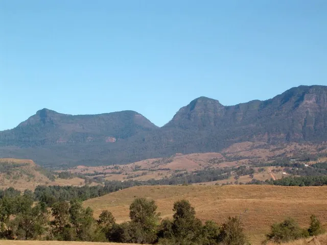
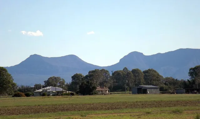
Main Range National Park
Cunningham Hwy, Warwick QLD 4370, Australia
4.7(412)
Open until 12:00 AM
Save
spot
spot
Ratings & Description
Info
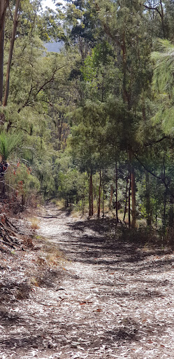
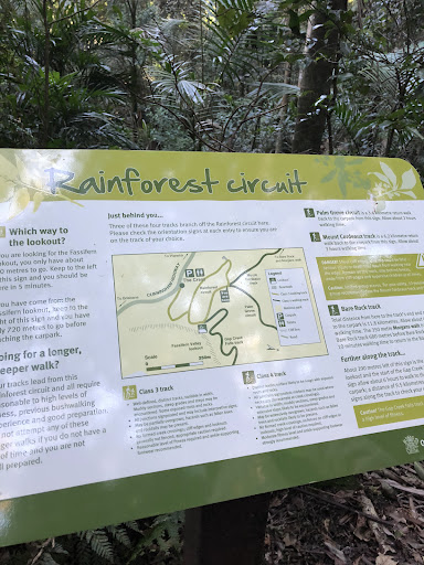
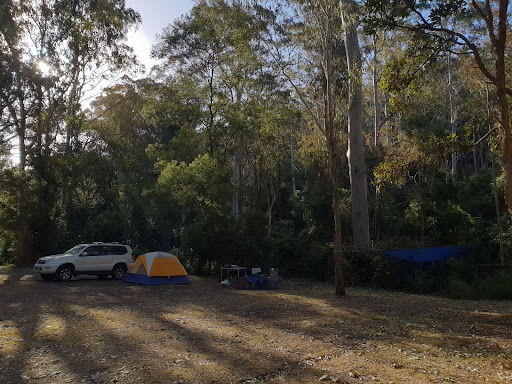
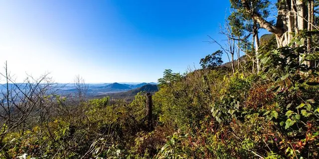
Outdoor
Adventure
Scenic
Family friendly
Pet friendly
Off the beaten path
attractions: , restaurants: , local businesses: Mount Cordeaux, Cunninghams Gap
Phone
+61 137468
Website
parks.des.qld.gov.au
Open hoursSee all hours
SatOpen 24 hoursOpen
Plan your stay

Pet-friendly Hotels in Tregony
Find a cozy hotel nearby and make it a full experience.

Affordable Hotels in Tregony
Find a cozy hotel nearby and make it a full experience.

The Coolest Hotels You Haven't Heard Of (Yet)
Find a cozy hotel nearby and make it a full experience.

Trending Stays Worth the Hype in Tregony
Find a cozy hotel nearby and make it a full experience.
Reviews
Nearby local services of Main Range National Park
Mount Cordeaux
Cunninghams Gap
Mount Cordeaux
4.9
(40)
Click for details
Cunninghams Gap
4.6
(23)
Click for details