Yarriabini National Park things to do, attractions, restaurants, events info and trip planning
Basic Info
Yarriabini National Park
6W4X+25, Way Way NSW 2447, Australia
4.6(73)
Open until 12:00 AM
Save
spot
spot
Ratings & Description
Info
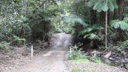
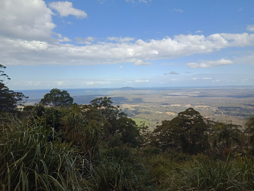
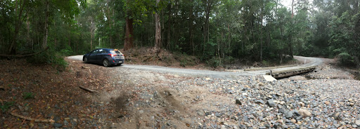
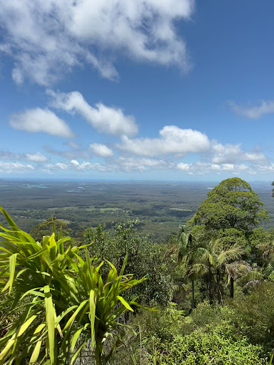
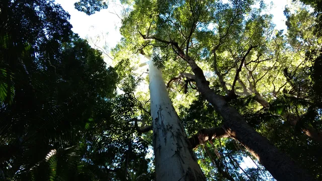
Yarriabini National Park is a protected area of 2092 hectares, situated in the Mid North Coast region of New South Wales. The nearest large town is Macksville. The high rainfall and relatively fertile soils produce outstanding eucalyptus forest and rainforest. Large rose gum and hoop pine grow in sheltered areas.
Outdoor
Adventure
Scenic
Family friendly
Pet friendly
attractions: , restaurants: , local businesses:
Phone
+61 2 6652 0900
Website
nationalparks.nsw.gov.au
Open hoursSee all hours
FriOpen 24 hoursOpen
Plan your stay

Pet-friendly Hotels in Way Way
Find a cozy hotel nearby and make it a full experience.

Affordable Hotels in Way Way
Find a cozy hotel nearby and make it a full experience.

The Coolest Hotels You Haven't Heard Of (Yet)
Find a cozy hotel nearby and make it a full experience.

Trending Stays Worth the Hype in Way Way
Find a cozy hotel nearby and make it a full experience.