Olpererhütte Hike Trailhead things to do, attractions, restaurants, events info and trip planning
Basic Info
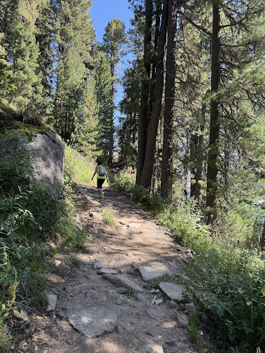
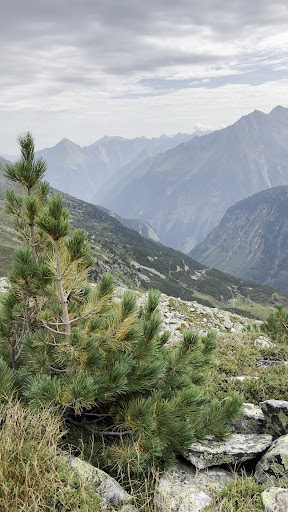
Olpererhütte Hike Trailhead
6295 Ginzling, Austria
4.8(171)
Open until 12:00 AM
Save
spot
spot
Ratings & Description
Info
Outdoor
Adventure
Scenic
Off the beaten path
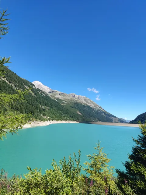
attractions: , restaurants: , local businesses: Schlegeisspeicher, Schlegeis 131
Open hoursSee all hours
SunOpen 24 hoursOpen
Plan your stay

Pet-friendly Hotels in Finkenberg
Find a cozy hotel nearby and make it a full experience.

Affordable Hotels in Finkenberg
Find a cozy hotel nearby and make it a full experience.

The Coolest Hotels You Haven't Heard Of (Yet)
Find a cozy hotel nearby and make it a full experience.

Trending Stays Worth the Hype in Finkenberg
Find a cozy hotel nearby and make it a full experience.
Reviews
Nearby local services of Olpererhütte Hike Trailhead
Schlegeisspeicher
Schlegeis 131
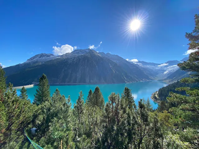
Schlegeisspeicher
4.8
(108)
Click for details

Schlegeis 131
4.7
(77)
Click for details