Wiegensee things to do, attractions, restaurants, events info and trip planning
Basic Info
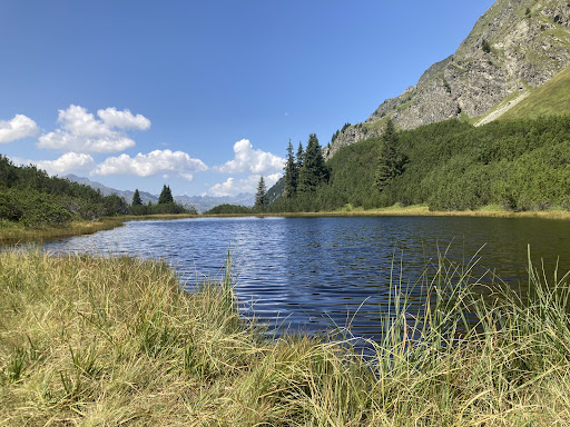
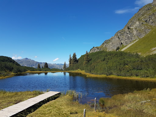
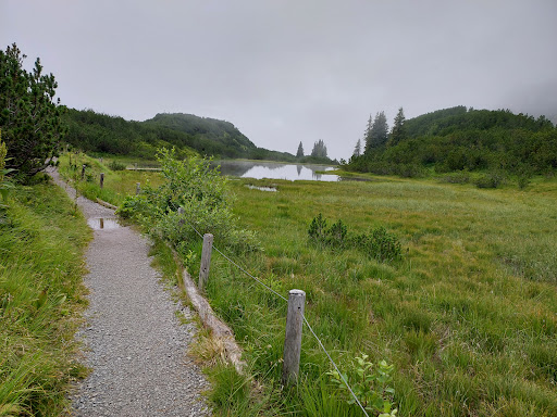
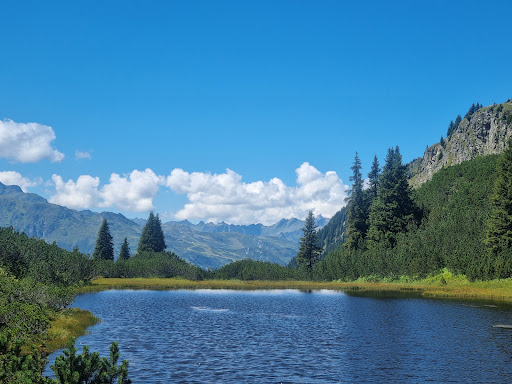
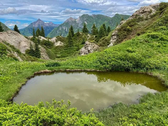
Wiegensee
6794 Gaschurn, Austria
4.9(54)
Open 24 hours
Save
spot
spot
Ratings & Description
Info
Outdoor
Scenic
Adventure
Pet friendly
Off the beaten path
attractions: , restaurants: , local businesses: Versalspitze
Plan your stay

Pet-friendly Hotels in Gemeinde Gaschurn
Find a cozy hotel nearby and make it a full experience.

Affordable Hotels in Gemeinde Gaschurn
Find a cozy hotel nearby and make it a full experience.

The Coolest Hotels You Haven't Heard Of (Yet)
Find a cozy hotel nearby and make it a full experience.

Trending Stays Worth the Hype in Gemeinde Gaschurn
Find a cozy hotel nearby and make it a full experience.
Reviews
Live events

Go paragliding over Davos with experienced guides
Thu, Feb 12 • 10:00 AM
7270, Davos Platz, Switzerland
View details
Nearby local services of Wiegensee
Versalspitze
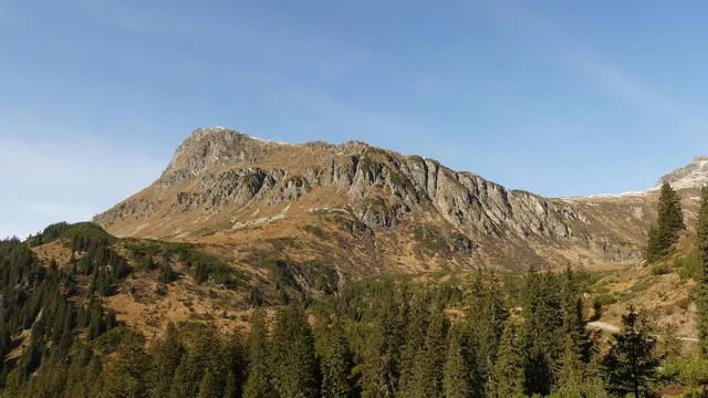
Versalspitze
4.9
(13)
Click for details