Eisenerzer Reichenstein things to do, attractions, restaurants, events info and trip planning
Basic Info
Eisenerzer Reichenstein
8794, Austria
4.9(55)
Save
spot
spot
Ratings & Description
Info
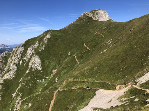
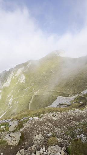
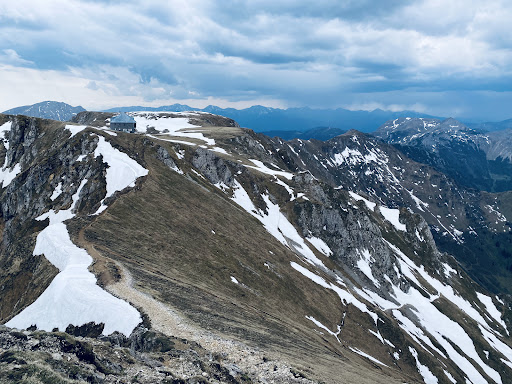
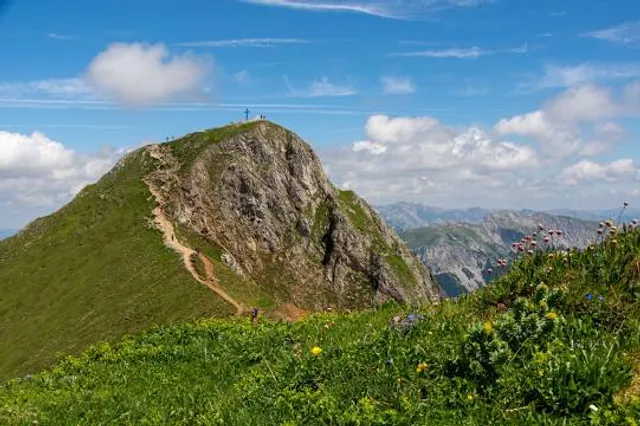
The Eisenerzer Reichenstein is a mountain in the Ennstal Alps in the Austrian federal state of Styria. It lies south of the Erzberg near Eisenerz.
Outdoor
Adventure
Scenic
Family friendly
Off the beaten path
attractions: Reichensteinhütte, restaurants: , local businesses:
Plan your stay

Pet-friendly Hotels in Vordernberg
Find a cozy hotel nearby and make it a full experience.

Affordable Hotels in Vordernberg
Find a cozy hotel nearby and make it a full experience.

The Coolest Hotels You Haven't Heard Of (Yet)
Find a cozy hotel nearby and make it a full experience.

Trending Stays Worth the Hype in Vordernberg
Find a cozy hotel nearby and make it a full experience.
Reviews
Nearby attractions of Eisenerzer Reichenstein
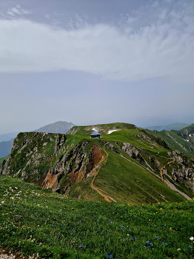
Reichensteinhütte
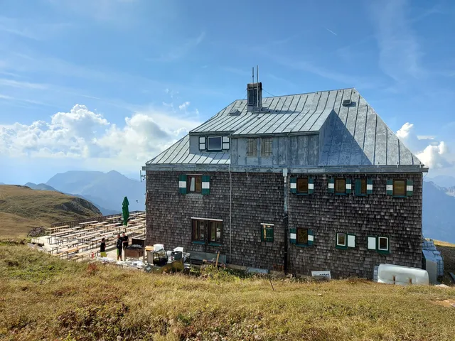
Reichensteinhütte
4.7
(288)
Open 24 hours
Click for details