Chalky Mount Trail things to do, attractions, restaurants, events info and trip planning
BarbadosChalky Mount Trail
Basic Info
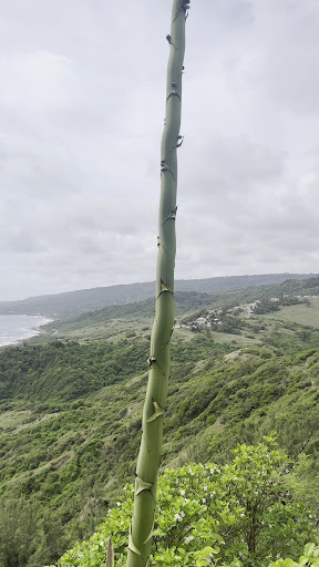
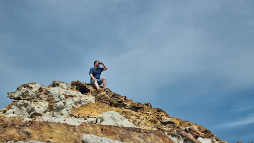
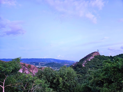
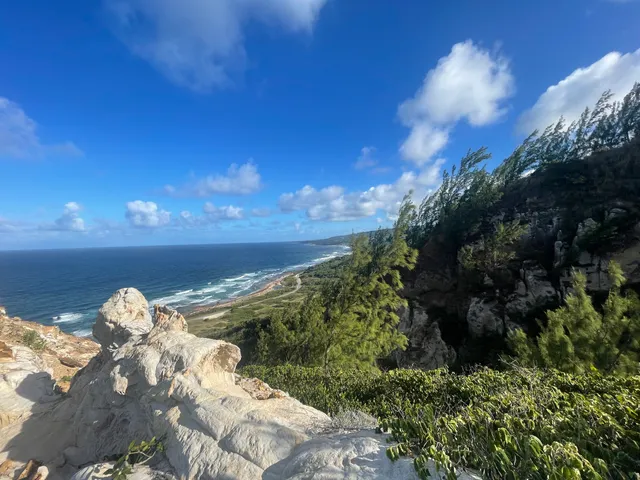
Chalky Mount Trail
Chalky Mount, Saint Andrew Barbados
4.8(23)
Open until 12:00 AM
Save
spot
spot
Ratings & Description
Info
Outdoor
Adventure
Scenic
Pet friendly
attractions: Lakes Beach, restaurants: The Bay Lounge, local businesses: Highland Pottery Inc.
Open hoursSee all hours
SatOpen 24 hoursOpen
Plan your stay

Pet-friendly Hotels in Barbados
Find a cozy hotel nearby and make it a full experience.

Affordable Hotels in Barbados
Find a cozy hotel nearby and make it a full experience.

The Coolest Hotels You Haven't Heard Of (Yet)
Find a cozy hotel nearby and make it a full experience.

Trending Stays Worth the Hype in Barbados
Find a cozy hotel nearby and make it a full experience.
Reviews
Live events

AI or Be Replaced: Tools You Must Start Using Today
Sat, Feb 28 • 2:00 PM
Pelican Village, Princess Alice Hwy, Bridgetown, Saint Michael Barbados
View details
Nearby attractions of Chalky Mount Trail
Lakes Beach
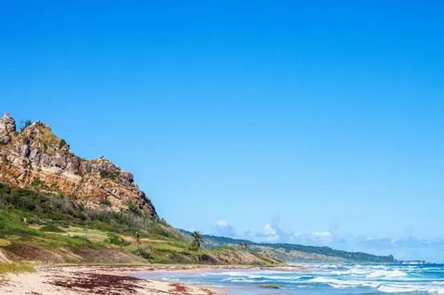
Lakes Beach
4.4
(19)
Open 24 hours
Click for details
Nearby restaurants of Chalky Mount Trail
The Bay Lounge
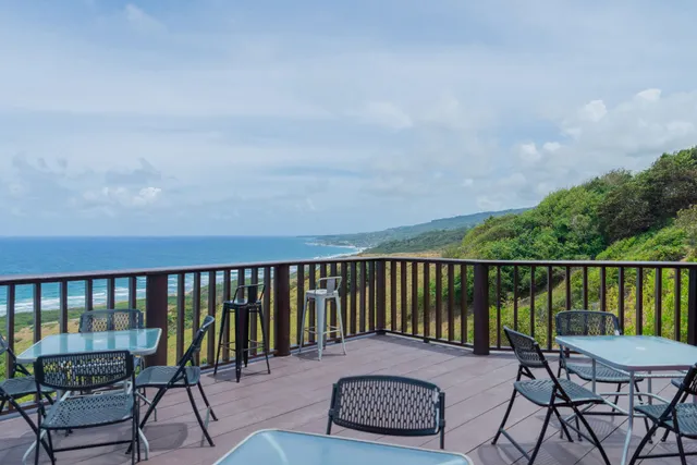
The Bay Lounge
4.4
(254)
$$
Closed
Click for details
Nearby local services of Chalky Mount Trail
Highland Pottery Inc.
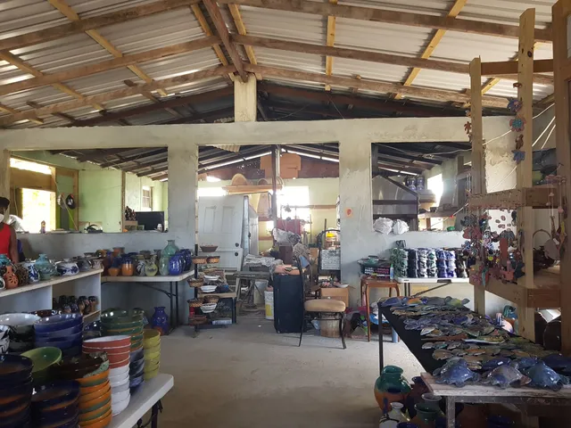
Highland Pottery Inc.
4.7
(32)
Click for details