Municipal Park Goiapaba-açu things to do, attractions, restaurants, events info and trip planning

Basic Info
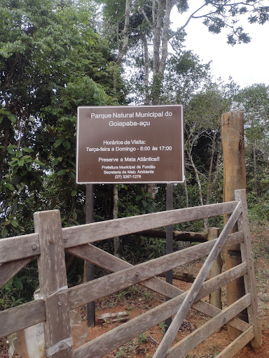
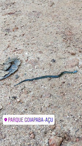
Municipal Park Goiapaba-açu
Estada para Goiapaba Açu, Fundão - ES, 29185-000, Brazil
4.7(157)
Open 24 hours
Save
spot
spot
Ratings & Description
Info
Outdoor
Scenic
Relaxation
Family friendly
Pet friendly
attractions: , restaurants: Lanchonete e Cerimonial Flor da Serra, local businesses:
Phone
+55 27 3253-1322
Website
fundao.es.gov.br
Plan your stay

Pet-friendly Hotels in Região Geográfica Imediata de Vitória
Find a cozy hotel nearby and make it a full experience.

Affordable Hotels in Região Geográfica Imediata de Vitória
Find a cozy hotel nearby and make it a full experience.

The Coolest Hotels You Haven't Heard Of (Yet)
Find a cozy hotel nearby and make it a full experience.

Trending Stays Worth the Hype in Região Geográfica Imediata de Vitória
Find a cozy hotel nearby and make it a full experience.
Reviews
Nearby restaurants of Municipal Park Goiapaba-açu
Lanchonete e Cerimonial Flor da Serra
Lanchonete e Cerimonial Flor da Serra
4.0
(1)
Click for details