връх Коджа кая things to do, attractions, restaurants, events info and trip planning
Basic Info
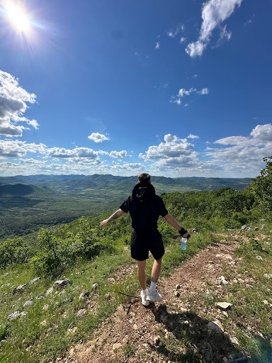
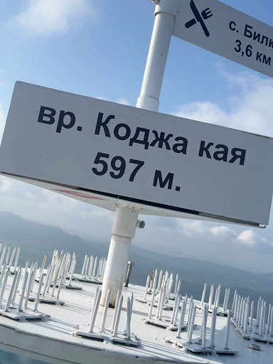
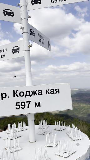
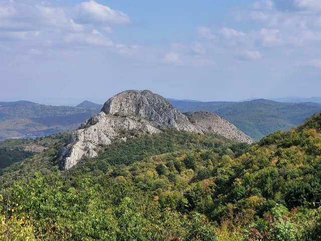
връх Коджа кая
W69V+HM, 8551 Bilka, Bulgaria
5.0(28)
Open until 12:00 AM
Save
spot
spot
Ratings & Description
Info
Outdoor
Adventure
Scenic
Pet friendly
attractions: , restaurants: , local businesses:
Website
varnamaps.eu
Open hoursSee all hours
FriOpen 24 hoursOpen
Plan your stay

Pet-friendly Hotels in Ruen
Find a cozy hotel nearby and make it a full experience.

Affordable Hotels in Ruen
Find a cozy hotel nearby and make it a full experience.

The Coolest Hotels You Haven't Heard Of (Yet)
Find a cozy hotel nearby and make it a full experience.

Trending Stays Worth the Hype in Ruen
Find a cozy hotel nearby and make it a full experience.