Toit des Laurentides things to do, attractions, restaurants, events info and trip planning
Basic Info
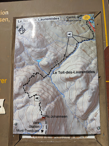
Toit des Laurentides
Chem. du Lac-Supérieur, Lac-Supérieur, QC J0T 1P0, Canada
4.5(17)
Open 24 hours
Save
spot
spot
Ratings & Description
Info
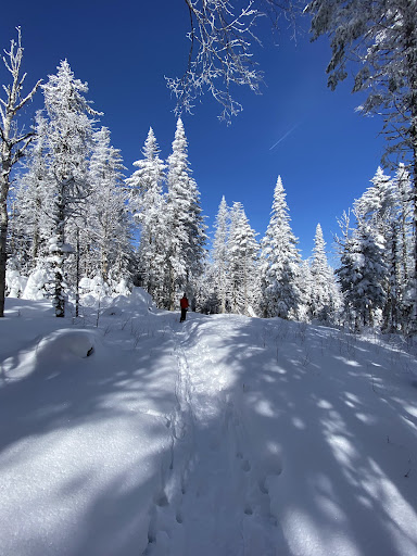
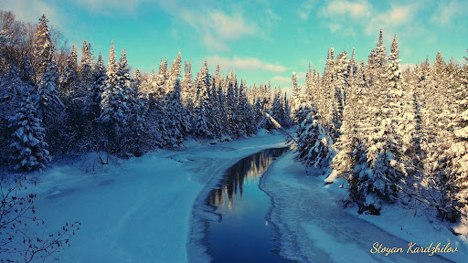
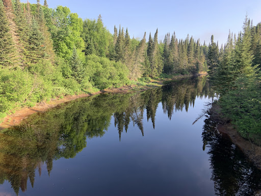
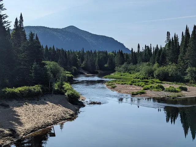
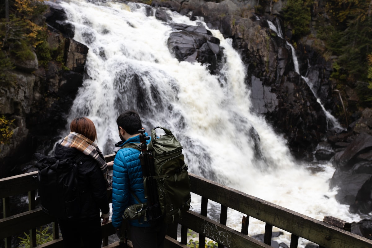
Outdoor
Adventure
Scenic
Off the beaten path
attractions: , restaurants:
Plan your stay

Pet-friendly Hotels in Lac-Supérieur
Find a cozy hotel nearby and make it a full experience.

Affordable Hotels in Lac-Supérieur
Find a cozy hotel nearby and make it a full experience.

The Coolest Hotels You Haven't Heard Of (Yet)
Find a cozy hotel nearby and make it a full experience.

Trending Stays Worth the Hype in Lac-Supérieur
Find a cozy hotel nearby and make it a full experience.
Reviews
Things to do nearby
Landscape Photography & Hike - Mont-Tremblant Park
Sat, Jan 17 • 11:00 AM
Les Laurentides Regional County Municipality, Quebec, J0T 1P0, Canada
View details

Balade en buggy 4x4
Sun, Jan 11 • 9:30 AM
178 Rue du Dépôt, Labelle, QC, J0T 1H0
View details

RandOnord 11 janvier Mont-Tremblant
Sun, Jan 11 • 9:30 AM
2590 Chemin Charles-Duncan, Mont-Tremblant, QC J8E 0A8
View details