Mont Durocher Park things to do, attractions, restaurants, events info and trip planning
Basic Info
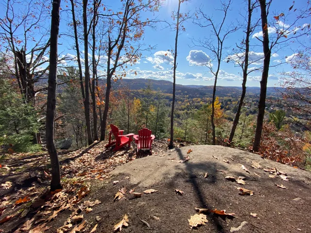
Mont Durocher Park
899 Bd des Monts, Sainte-Adèle, QC J8B 1K4, Canada
4.4(102)
Closed
Save
spot
spot
Ratings & Description
Info
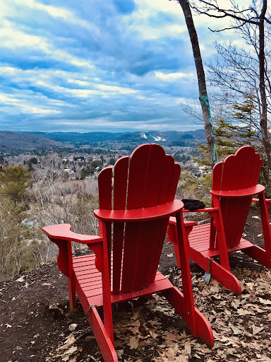
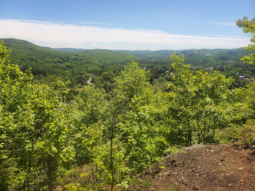
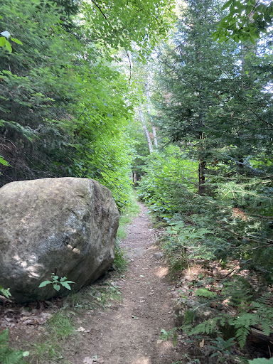
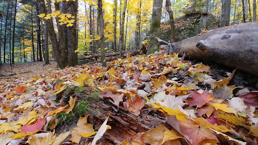
Outdoor
Adventure
Scenic
Family friendly
Pet friendly
Off the beaten path
attractions: Musée Zénon-Alary, restaurants: Café de la Gare, Starca - Café Bistro, local businesses:
Phone
+1 450-229-2921
Website
ville.sainte-adele.qc.ca
Open hoursSee all hours
Tue7 AM - 9 PMClosed
Plan your stay

Pet-friendly Hotels in Sainte-Adèle
Find a cozy hotel nearby and make it a full experience.

Affordable Hotels in Sainte-Adèle
Find a cozy hotel nearby and make it a full experience.

The Coolest Hotels You Haven't Heard Of (Yet)
Find a cozy hotel nearby and make it a full experience.

Trending Stays Worth the Hype in Sainte-Adèle
Find a cozy hotel nearby and make it a full experience.
Reviews
Live events

Cercle de femmes lumineuses
Fri, Feb 27 • 10:00 AM
5749 Chemin Vincent-Massey Rawdon, QC J0K 1S0
View details

Cacao Sacré, Gongs & Kundalini Activation
Fri, Feb 27 • 7:00 PM
821 Chemin des Hauteurs Saint-Hippolyte, QC J8A 1J2
View details

St-Lin-des-Laurentides 27 février 2026 - 19h30 : Hommage aux Beatles
Fri, Feb 27 • 7:30 PM
510 Rue Saint-Isidore Saint-Lin-Laurentides, QC J5M 2V1
View details
Nearby attractions of Mont Durocher Park
Musée Zénon-Alary

Musée Zénon-Alary
4.4
(25)
Open until 12:00 AM
Click for details
Nearby restaurants of Mont Durocher Park
Café de la Gare
Starca - Café Bistro
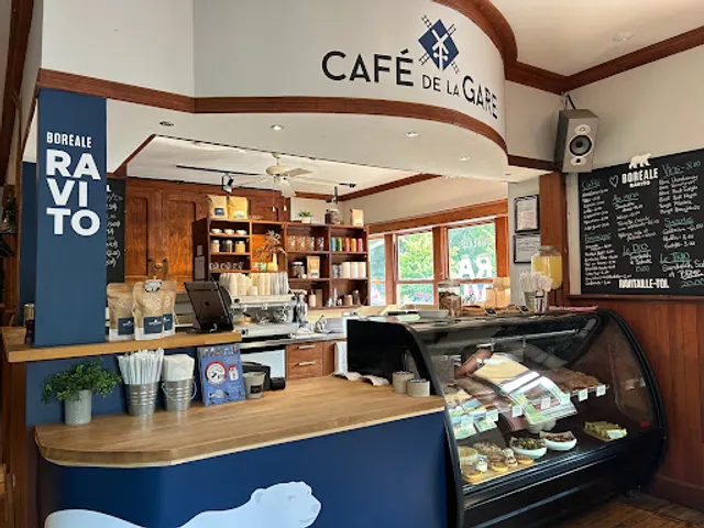
Café de la Gare
4.5
(164)
Closed
Click for details
Starca - Café Bistro
4.8
(104)
Closed
Click for details