Mount Maxwell Provincial Park things to do, attractions, restaurants, events info and trip planning
Basic Info
Mount Maxwell Provincial Park
1930 Fulford-Ganges Rd, Salt Spring Island, BC, Canada
4.8(241)
Open until 12:00 AM
Save
spot
spot
Ratings & Description
Info
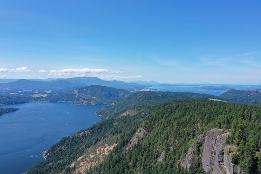
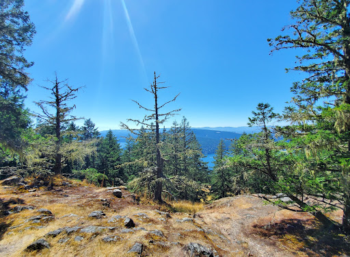
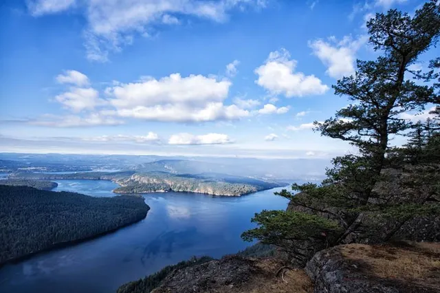
Mount Maxwell Provincial Park is a provincial park in the Gulf Islands of British Columbia, Canada. It is located on Burgoyne Bay and the Sansum Narrows on the western shores of Saltspring Island.
Outdoor
Adventure
Scenic
Pet friendly
Off the beaten path
attractions: , restaurants: , local businesses:
Phone
+1 250-539-2115
Website
bcparks.ca
Open hoursSee all hours
FriOpen 24 hoursOpen
Plan your stay

Pet-friendly Hotels in Salt Spring Island Electoral Area
Find a cozy hotel nearby and make it a full experience.

Affordable Hotels in Salt Spring Island Electoral Area
Find a cozy hotel nearby and make it a full experience.

The Coolest Hotels You Haven't Heard Of (Yet)
Find a cozy hotel nearby and make it a full experience.

Trending Stays Worth the Hype in Salt Spring Island Electoral Area
Find a cozy hotel nearby and make it a full experience.
Reviews
Live events
Trail Ride Experience
Sat, Feb 14 • 10:00 AM
Shawnigan Lake, British Columbia, V0R, Canada
View details
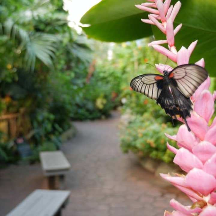
Victoria Butterfly Gardens
Sat, Feb 14 • 10:00 AM
1461 Benvenuto Avenue, Brentwood Bay, V8M 1J5
View details
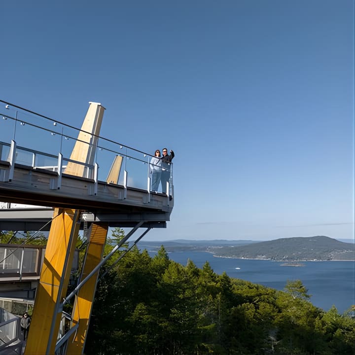
Malahat SkyWalk General Admission Tickets
Sat, Feb 14 • 9:00 AM
901 Trans-Canada Highway, Malahat, V0R 2L0
View details