Mt Erskine Hiking Trail things to do, attractions, restaurants, events info and trip planning
Basic Info
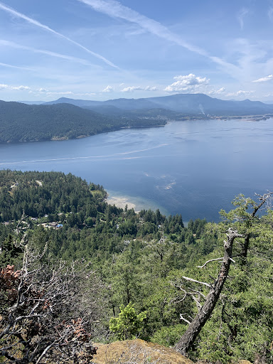
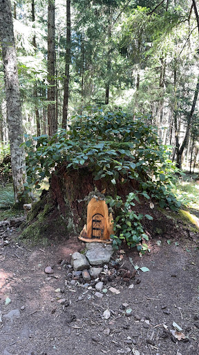
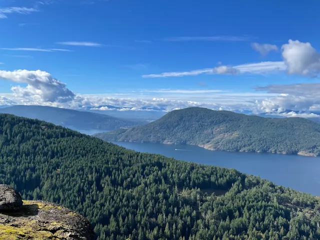
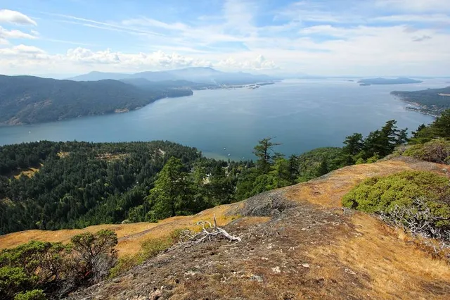
Mt Erskine Hiking Trail
Trustees Trail, Salt Spring Island, BC V8K 2Y1, Canada
4.9(89)
Open until 12:00 AM
Save
spot
spot
Ratings & Description
Info
Outdoor
Adventure
Scenic
Pet friendly
Off the beaten path
attractions: Mount Erskine Provincial Park, restaurants: , local businesses:
Open hoursSee all hours
SatOpen 24 hoursOpen
Plan your stay

Pet-friendly Hotels in Salt Spring Island Electoral Area
Find a cozy hotel nearby and make it a full experience.

Affordable Hotels in Salt Spring Island Electoral Area
Find a cozy hotel nearby and make it a full experience.

The Coolest Hotels You Haven't Heard Of (Yet)
Find a cozy hotel nearby and make it a full experience.

Trending Stays Worth the Hype in Salt Spring Island Electoral Area
Find a cozy hotel nearby and make it a full experience.
Reviews
Live events
Trail Ride Experience
Sat, Feb 21 • 10:00 AM
Shawnigan Lake, British Columbia, V0R, Canada
View details

The Men in Black: A Tribute to Johnny Cash
Sat, Feb 21 • 7:00 PM
Mary Winspear Centre, 2243 Beacon Avenue,Sidney, British Columbia, Canada
View details

Vinyl Sessions #2
Sat, Feb 21 • 9:00 PM
Victoria Canada BC, Sidney, Canada
View details
Nearby attractions of Mt Erskine Hiking Trail
Mount Erskine Provincial Park
Mount Erskine Provincial Park
4.9
(75)
Open until 12:00 AM
Click for details