Sugarloaf Trailhead (Wilkie Sugar Loaf trail) things to do, attractions, restaurants, events info and trip planning
Basic Info
Sugarloaf Trailhead (Wilkie Sugar Loaf trail)
2106 Bay St Lawrence Rd, Sugar Loaf, NS B0C 1G0, Canada
4.5(15)
Open until 12:00 AM
Save
spot
spot
Ratings & Description
Info
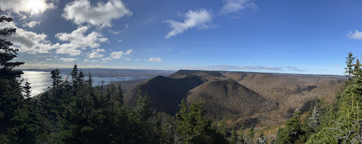
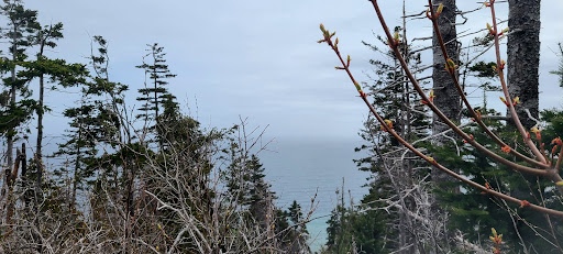
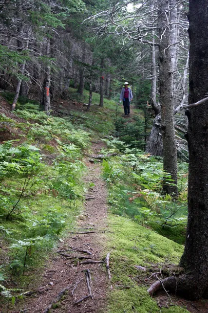
The Wilkie Sugarloaf Trail is a hiking trail in northern Cape Breton Island in the Canadian province of Nova Scotia. The trail leads to the 411.8 metres summit of Wilkie Sugar Loaf in the Cape Breton Highlands.
Outdoor
Adventure
Scenic
Family friendly
Pet friendly
Off the beaten path
attractions: , restaurants: , local businesses:
Open hoursSee all hours
WedOpen 24 hoursOpen
Plan your stay

Pet-friendly Hotels in Sugar Loaf
Find a cozy hotel nearby and make it a full experience.

Affordable Hotels in Sugar Loaf
Find a cozy hotel nearby and make it a full experience.

The Coolest Hotels You Haven't Heard Of (Yet)
Find a cozy hotel nearby and make it a full experience.

Trending Stays Worth the Hype in Sugar Loaf
Find a cozy hotel nearby and make it a full experience.