Arch Rock trail things to do, attractions, restaurants, events info and trip planning

Basic Info
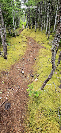
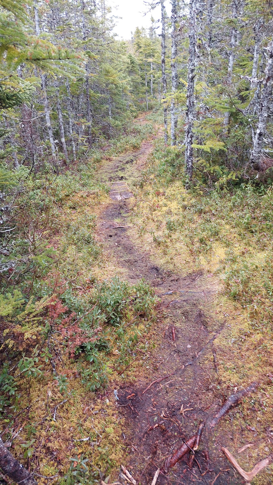
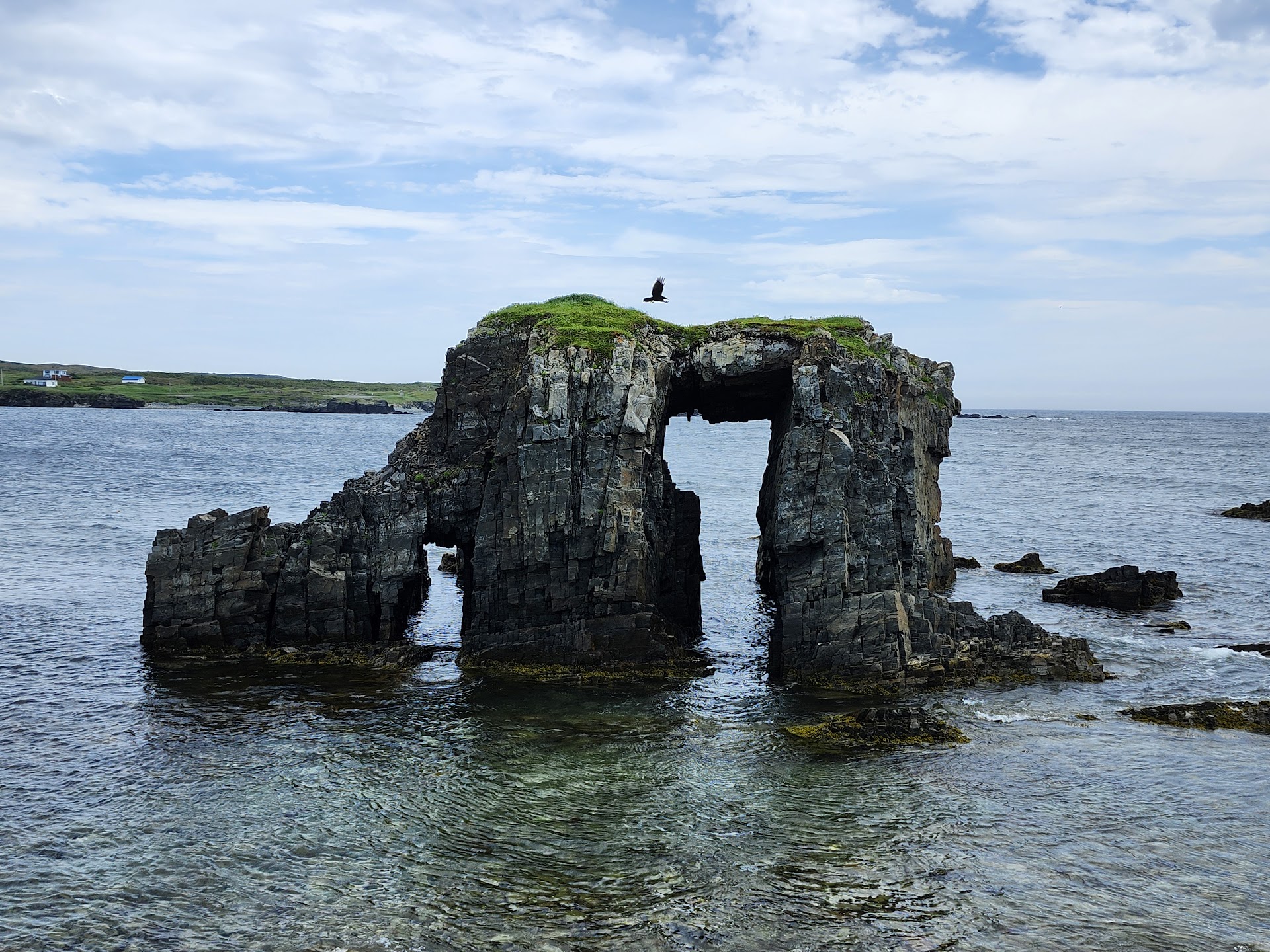
Arch Rock trail
Little Catalina, NL A0C 1C0, Canada
4.5(16)
Open 24 hours
Save
spot
spot
Ratings & Description
Info
Outdoor
Adventure
Scenic
Pet friendly
Off the beaten path
attractions: , restaurants: , local businesses:
Phone
+1 709-469-2571
Website
trinitybaynorth.com
Plan your stay

Pet-friendly Hotels in Trinity Bay North
Find a cozy hotel nearby and make it a full experience.

Affordable Hotels in Trinity Bay North
Find a cozy hotel nearby and make it a full experience.

The Coolest Hotels You Haven't Heard Of (Yet)
Find a cozy hotel nearby and make it a full experience.

Trending Stays Worth the Hype in Trinity Bay North
Find a cozy hotel nearby and make it a full experience.