I completed this hike on the morning of June 20 2020. I arrived at 7:30 AM and was the first one there and enjoyed having the entire trail to myself for most of the hike (just passed a few groups on the way back). When I returned to the parking lot at 10:30, it was starting to fill up but the trail didn't feel busy at all on my way back. This is one of my favourites hikes in the Whiteshell and I've hiked it many times in all seasons. It's a great one to re-visit often!
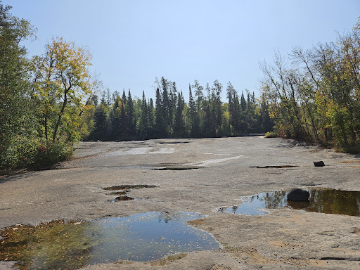
The hike begins on a wide path through the forest and arrives at a junction. I always take the trail to the right (the self-guiding 2.7 km one), as it's more scenic and interesting in the terrain. The other path is a wide, straight trail through the forest that also arrives to the first rapids and there is no elevation on that one. The scenic trail travels through a mix of forest and climbs over the rocky face of the Shield. There is a short, offshoot trail leading to a lookout point along the way, where there were beautiful views of the forest! There were quite a few muddy sections of the trail as you get closer to the first rapids... Make sure to bring extra socks and wear waterproof footwear!
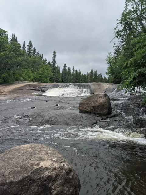
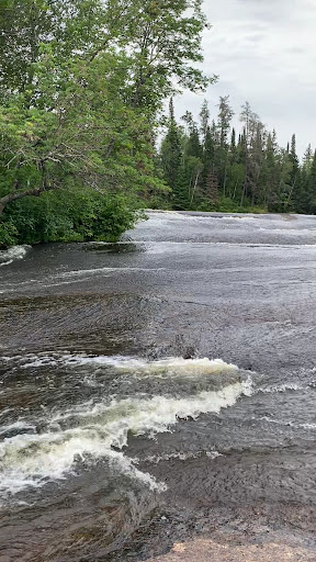
At the first rapids, there is a small warming hut with a wood stove. It's a nice place to enjoy a snack! There's also picnic tables on the rocks. The rapids were beautiful! The second loop is 2.8 km and is lesser traveled than the first section of trail and it's my favourite portion of the hike as it is very scenic! This section is slightly more challenging with more ups and downs over the rocks. It leads to Acorn Falls first and then Viburnum Falls. Both are gorgeous and offer pretty views!
There were some fallen trees across the trail at various points, but they were easy to navigate. The mosquitoes were absolutely HORRENDOUS when I hiked here. I had to wear my bug head net to escape their attacks. Would highly recommend lots of bug spray and a bug net if you have. It was definitely helpful. There is an outhouse at the beginning of the trail and at the first rapids.
I hiked the full 9 km loop and it took me roughly 3 hours to complete with some photo/snack stops along the way. Pine Point is one of my favourite hikes in the Whiteshell and I love the variety of terrain and landscapes and pretty views along the way. The natural...
Read more