Centennial Ridges Trail things to do, attractions, restaurants, events info and trip planning
Basic Info
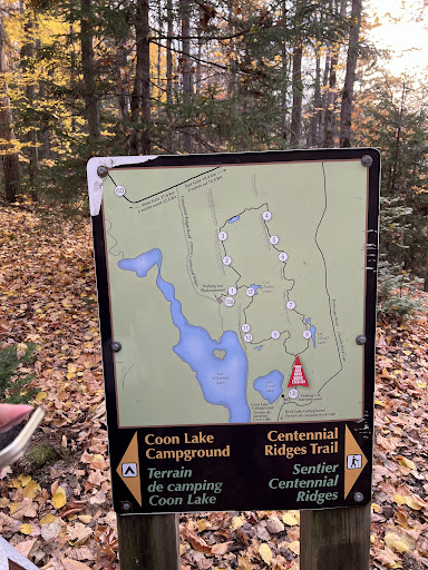
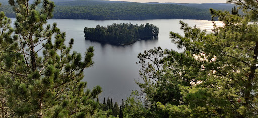
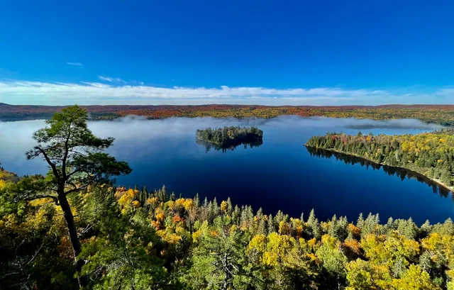
Centennial Ridges Trail
Centennial Ridges Rd, Unorganized South Nipissing District, ON K0J 2M0, Canada
4.8(326)
Open until 10:00 PM
Save
spot
spot
Ratings & Description
Info
Outdoor
Adventure
Scenic
Off the beaten path
Pet friendly
attractions: , restaurants: , local businesses:
Phone
+1 705-633-5572
Website
algonquinpark.on.ca
Open hoursSee all hours
Fri7 AM - 10 PMOpen
Plan your stay

Pet-friendly Hotels in Unorganized South Nipissing
Find a cozy hotel nearby and make it a full experience.

Affordable Hotels in Unorganized South Nipissing
Find a cozy hotel nearby and make it a full experience.

The Coolest Hotels You Haven't Heard Of (Yet)
Find a cozy hotel nearby and make it a full experience.

Trending Stays Worth the Hype in Unorganized South Nipissing
Find a cozy hotel nearby and make it a full experience.