Sharp Peak things to do, attractions, restaurants, events info and trip planning
Basic Info
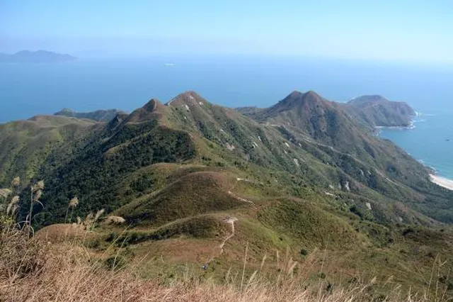
Sharp Peak
Sai Kung, Hong Kong
4.7(95)
Save
spot
spot
Ratings & Description
Info
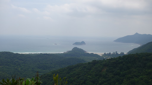
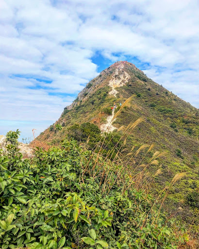
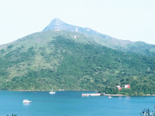
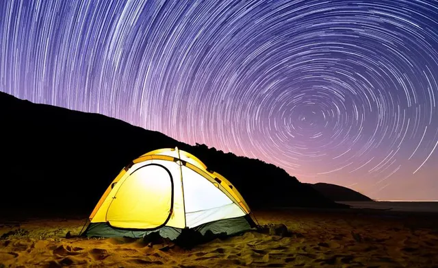
Sharp Peak, or Nam She Tsim, is a hill inside Sai Kung East Country Park, north of Tai Long Wan, in the Sai Kung Peninsula in Hong Kong. It is particularly well known for its well-defined sharp peak, which rises to a height of 468 metres above sea level.
Outdoor
Adventure
Scenic
Off the beaten path
attractions: , restaurants: , local businesses: Nam She Wan
Plan your stay

Pet-friendly Hotels in Hong Kong
Find a cozy hotel nearby and make it a full experience.

Affordable Hotels in Hong Kong
Find a cozy hotel nearby and make it a full experience.

The Coolest Hotels You Haven't Heard Of (Yet)
Find a cozy hotel nearby and make it a full experience.

Trending Stays Worth the Hype in Hong Kong
Find a cozy hotel nearby and make it a full experience.
Reviews
Live events
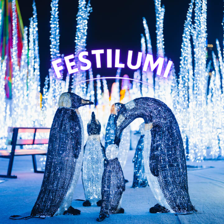
Festilumi - 香港
Fri, Feb 20 • 9:00 PM
3 Hung Hing Rd, Wan Chai, 00000
View details
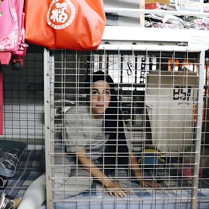
香港的黑暗面 - 九龙笼屋漫步之旅
Sat, Feb 21 • 11:00 AM
太子彌敦道
View details
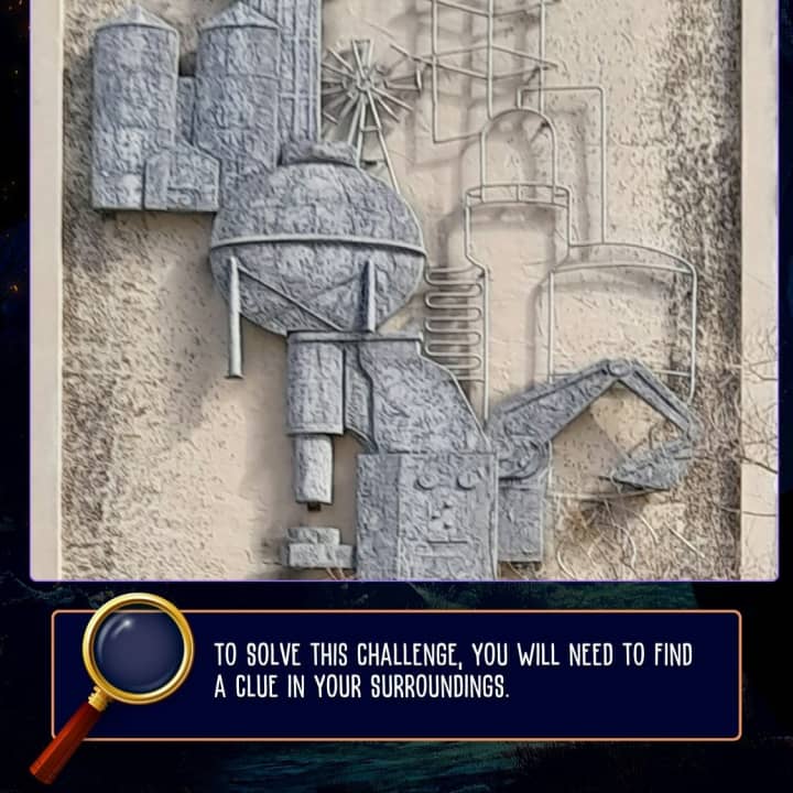
Hong Kong Detective Game: Join the Secret Society!
Sun, Feb 1 • 12:00 AM
Statue Square, Des Voeux Rd Central, Central, Hong Kong, 75J5+CW
View details
Nearby local services of Sharp Peak
Nam She Wan
Nam She Wan
4.1
(11)
Click for details