Namjagbarwa Peak things to do, attractions, restaurants, events info and trip planning

Basic Info
Namjagbarwa Peak
Mainling, Nyingchi, China, 860700
4.5(141)
Save
spot
spot
Ratings & Description
Info
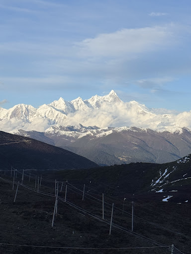
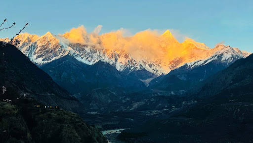
Namcha Barwa or Namchabarwa is a mountain peak lying in Tibet in the region of Pemako. The traditional definition of the Himalaya extending from the Indus River to the Brahmaputra would make it the ...
Outdoor
Adventure
Scenic
Off the beaten path
attractions: , restaurants: , local businesses:
Plan your stay

Pet-friendly Hotels in Pé Township
Find a cozy hotel nearby and make it a full experience.

Affordable Hotels in Pé Township
Find a cozy hotel nearby and make it a full experience.

The Coolest Hotels You Haven't Heard Of (Yet)
Find a cozy hotel nearby and make it a full experience.

Trending Stays Worth the Hype in Pé Township
Find a cozy hotel nearby and make it a full experience.