Cerro de las Tres Viejas things to do, attractions, restaurants, events info and trip planning
Basic Info
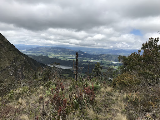
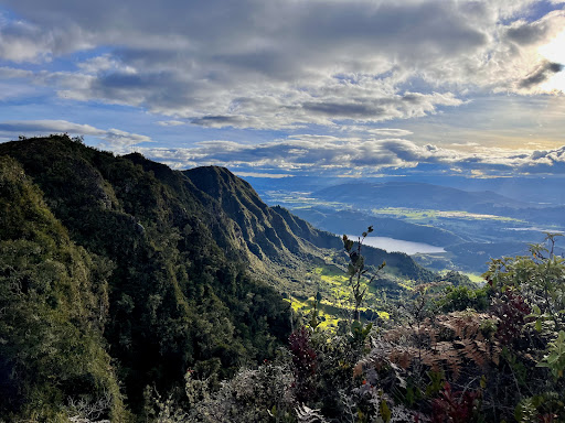
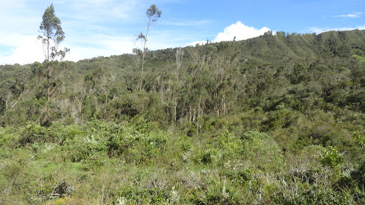
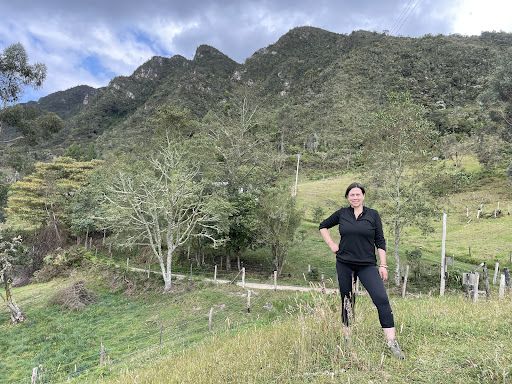
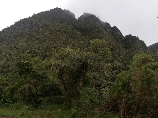
Cerro de las Tres Viejas
Vereda Espigas, Sesquilé, Cundinamarca, Colombia
4.8(79)
Open until 12:00 AM
Save
spot
spot
Ratings & Description
Info
Outdoor
Adventure
Scenic
Off the beaten path
attractions: , restaurants: , local businesses:
Phone
+57 312 5395408
Open hoursSee all hours
SatOpen 24 hoursOpen
Plan your stay

Pet-friendly Hotels in Sesquilé
Find a cozy hotel nearby and make it a full experience.

Affordable Hotels in Sesquilé
Find a cozy hotel nearby and make it a full experience.

The Coolest Hotels You Haven't Heard Of (Yet)
Find a cozy hotel nearby and make it a full experience.

Trending Stays Worth the Hype in Sesquilé
Find a cozy hotel nearby and make it a full experience.