The Atalanti Nature Trail is the second most popular trail of Troodos mountaintop, and the longest one (14km). It is a circular trail which runs almost in parallel with the famous Artemis Trail, going around the Hionistra mountaintop, but at a lower altitude (at around 1800 metres). It starts just behind the post office at the Troodos square. It's easy to find,
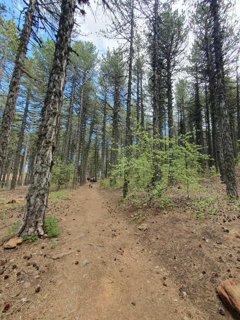
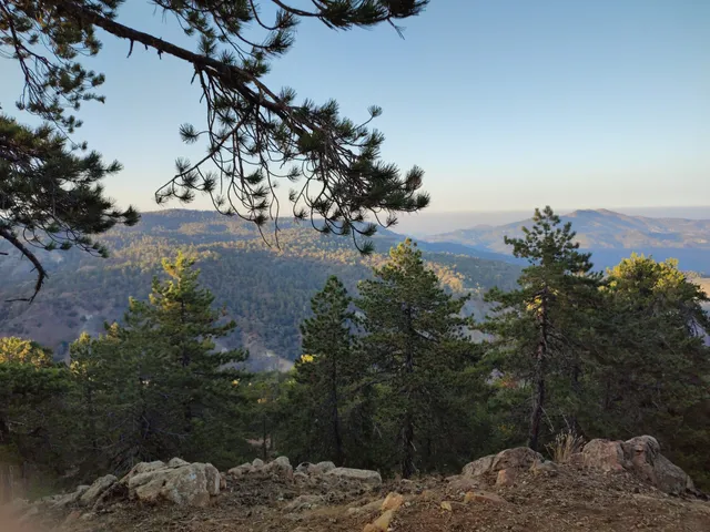
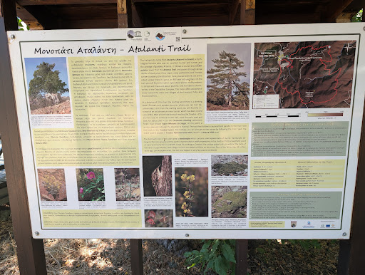
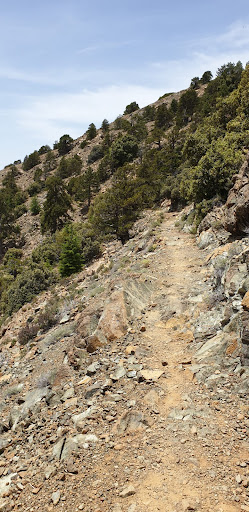
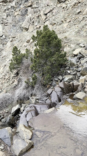
there are signposts leading to it around the square. The trail up to the 4km mark bares significant resemblance to the Artemis trail in terms of the physical layout and environment, as well as the corresponding views: a beautiful but not thick forest of black pines and junipers, sitting on top of the famous Troodos ophiolite crust. Cedar trees are also widespread (these have been planted in the last decades and they seem to have adjusted well to the environment). There are many information posts about the trail's rocks and flora at regular intervals. You can also enjoy grand views towards the southern part of Cyprus from this trail section. At the 3km mark there is a small picturesque fountain with drinking water, built by the Forest Department in 1981. This is the last chance to refill with water (if you remain in the trail) until the end, so act accordingly. At the 4-5 km mark, there are a number of interesting sights to enjoy. First, the hiker encounters the remains of the old Hadjipavlou chromium mine. This was active from 1950-1954, and 1500 tons of chromium were excavated. A few hundred meters after the mine, one of the oldest juniper trees in Cyprus stands tall. It is estimated to be 800 years old, although some other sources indicate it as 600 years old. Whatever the case, it is very impressive! One of the differences between the Artemis and Atalanti trails is that the latter provides much more diversity in terms of flora, being slightly lower in altitude. In early autumn, one can enjoy the beautiful Troodos autumn crocus, as well as an abundance of wild apple and wild rose trees in full maturity. The section between the 5 and 10km mark is very beautiful but uneventful in terms of significant sights. As in the Artemis trail, the western section gives you the opportunity to enjoy panoramic views of Prodromos, Lemithou and Kykkos Monastery (in the background). Just before the 10km mark, after walking through the thick black pine forest of the north Troodos side, you encounter the main Prodromos - Troodos paved road. You have two options: for the less fit, you can follow the paved road and return to the Troodos square earlier, or have a drink at the Jubilee Hotel just before the square. The last 4 km of the trail do not provide any exciting visual entertainment anyway. For those of you who are doing the trail for fitness purposes, the last 4km is a very good opportunity to test and enhance your endurance. Cross the road, walk the opposite dirt road for 200m (it is signed), and turn right at the corresponding signpost. The trail zig-zags down to the small valley , and carries on to the other side. From there on, it continues upwards until it reaches a forest road that you follow to the left (north-eastwards, it is not signposted). You carry on walking in the road (walking is mostly on boulder surface) until the last km.
The final 'struggle' takes you up to the hill on a parking lot directly opposite the post office. Cross the road and you finished. Marvelous! Trail times: official timing is 4-5hs, but this is walking too gently and with lots of stops. I've done it in 2:50 and I think it can be done even quicker by a...
Read more