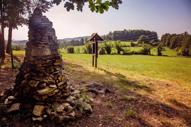
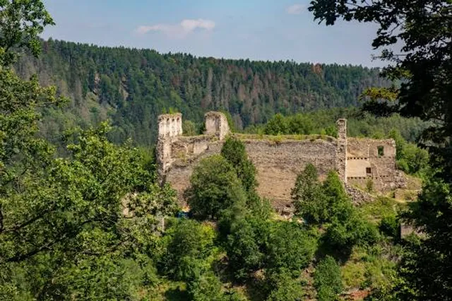
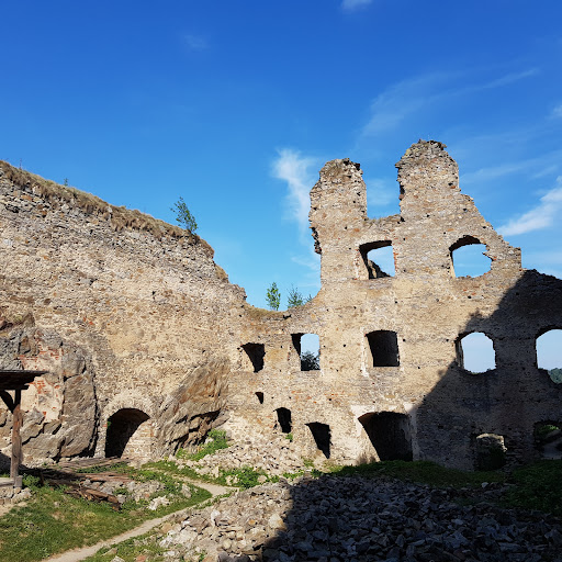
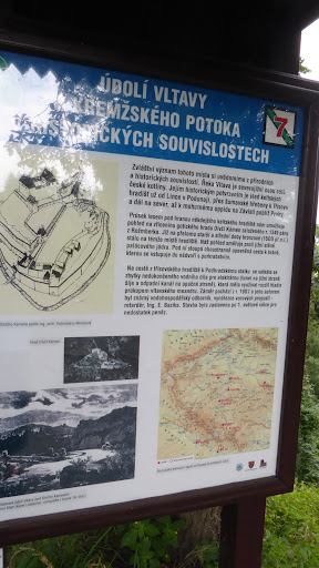
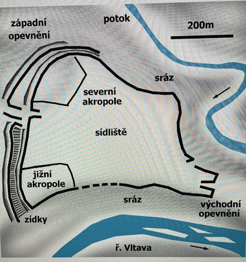
Třísovské oppidum z poloviny 2. století př. n. l. je jedním z nejvýznamnějších, nejstarších a nejjižněji položených keltských sídel na našem území. Tvořilo důležitou zastávku na Vltavské obchodní stezce, po které se dovážela sůl z oblasti Alp, přes Podkrušnohoří až na germánská území. Bylo vybudovaného ve strategické poloze při soutoku Vltavy s Křemžským potokem - nejvyšší bod oppida leží v nadmořské výšce 551 metrů, od hladiny Vltavy jej na sevorozápadní straně odděluje prudký (asi 120 metrů vysoký) sráz. Západní a jihozápadní strana oppida, která byla nejméně chráněná (oppidum zde plynule přechází ve volný, přístupný terén) byla opevněna fortifikací, tvořenou dvěma souběžnými hradbami, které byly z vnější strany lemované hlubokými příkopy. Čelní strana hradby byla postavena z kamenů kladených nasucho, které byly zpevněny svislými kůly v odstupech jednoho metru. Oppidum dosáhlo největšího rozkvětu počátkem 1. století před Kristem. Konec souvisí nejspíše s úpadkem keltské moci v Čechách během druhé poloviny 1. století př. n. l. Zřejmě nezaniklo násilnou cestou, ale bylo opuštěno.
The Třísov Oppidum from the middle of the 2nd century BC is one of the most important, oldest and southernmost Celtic settlements in the old Bohemia. It formed an important stop on the Vltava trade route, along which salt was imported from the Alps, through the Ore Mountains to the Germanic territories. It was built in a strategic position at the confluence of the Vltava with the Křemžský stream - the highest point of the settlement lies at an altitude of 551 meters, from the surface of the Vltava it is separated on the northwest side by a steep slope, about 120 meters high. The western and southwestern side of the oppidum, which was the least protected (the oppidum here smoothly turns into free, accessible terrain), was defended by a fortification, formed by two parallel walls, which were lined on the outside with deep ditches. The front of the wall was built of dry-laid stones (no mortar), which were reinforced with vertical piles at intervals of one meter. Oppidum reached its peak at the beginning of the 1st century BC. The end is probably related to the decline of Celtic power in Bohemia during the second half of the 1st century BC. It was probably not destroyed, but...
Read more