Parque Nacional Cajas things to do, attractions, restaurants, events info and trip planning
Basic Info
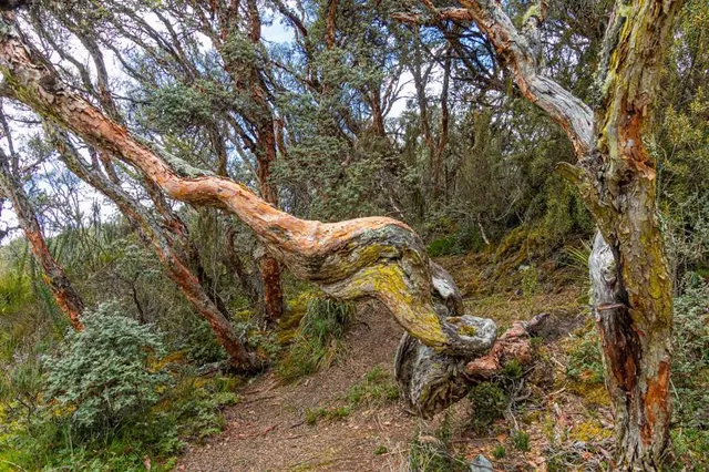
Parque Nacional Cajas
5P2W+GF5, Ecuador
4.8(2.1K)
Open 24 hours
Save
spot
spot
Ratings & Description
Info
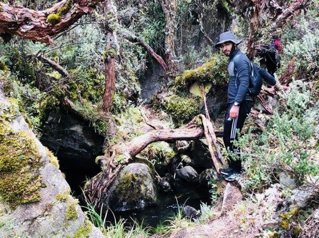
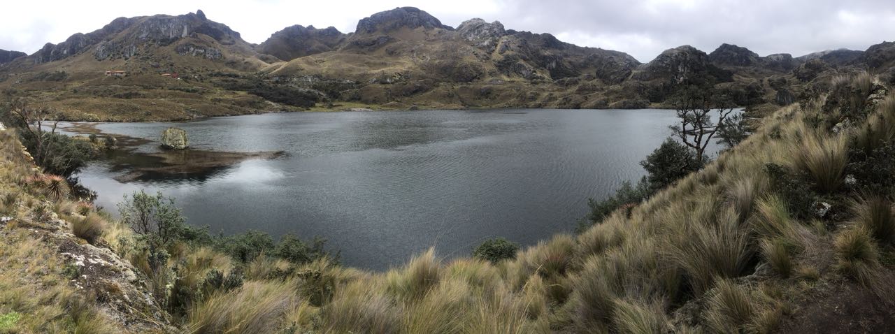
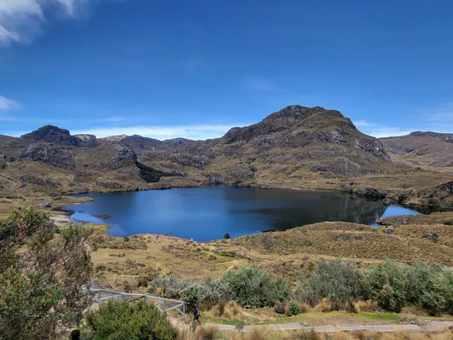
Outdoor
Adventure
Scenic
Family friendly
Off the beaten path
attractions: , restaurants: , local businesses: Parque Nacional Cajas
Phone
+593 7-237-0127
Website
parque-nacional-cajas.org
Plan your stay

Pet-friendly Hotels in San Joaquín
Find a cozy hotel nearby and make it a full experience.

Affordable Hotels in San Joaquín
Find a cozy hotel nearby and make it a full experience.

The Coolest Hotels You Haven't Heard Of (Yet)
Find a cozy hotel nearby and make it a full experience.

Trending Stays Worth the Hype in San Joaquín
Find a cozy hotel nearby and make it a full experience.
Reviews
Live events
Discover the best of Cuenca in its center.
Thu, Feb 19 • 9:30 AM
Cuenca, Azuay, 010101, Ecuador
View details

Taller Nacional MOVIDATA
Thu, Feb 26 • 2:00 PM
Credu, Av 12 De Abril, Av Loja, Cuenca 010202, Ecuador
View details
Nearby local services of Parque Nacional Cajas
Parque Nacional Cajas
Parque Nacional Cajas
4.8
(1.8K)
Click for details