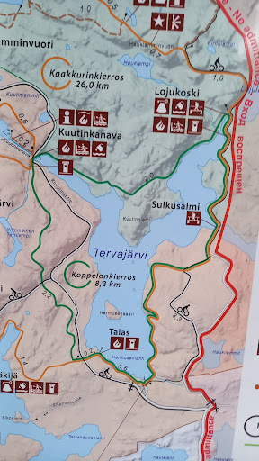
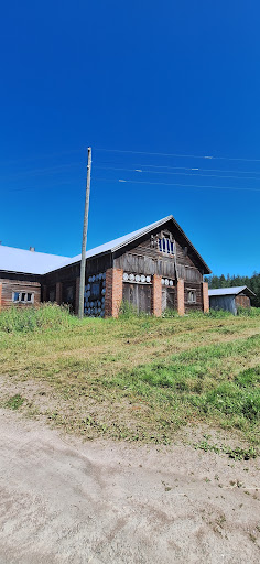
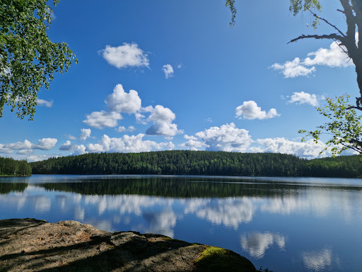
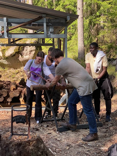
Repovesi nationalpark, Tervajärvi parking lot things to do, attractions, restaurants, events info and trip planning
Basic Info
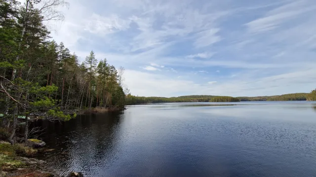
Repovesi nationalpark, Tervajärvi parking lot
Kivisilmäntie 720, 46230 Valkeala, Finland
4.6(98)
Open until 12:00 AM
Save
spot
spot
Ratings & Description
Info
Outdoor
Adventure
Scenic
Family friendly
Pet friendly
Off the beaten path
attractions: , restaurants: , local businesses:
Website
luontoon.fi
Open hoursSee all hours
WedOpen 24 hoursOpen
Plan your stay

Pet-friendly Hotels in Kouvola sub-region
Find a cozy hotel nearby and make it a full experience.

Affordable Hotels in Kouvola sub-region
Find a cozy hotel nearby and make it a full experience.

The Coolest Hotels You Haven't Heard Of (Yet)
Find a cozy hotel nearby and make it a full experience.

Trending Stays Worth the Hype in Kouvola sub-region
Find a cozy hotel nearby and make it a full experience.