Vandrade hit från Haldi trail parking på norska sidan.
Gick inte rätt på utan lite omväg så tog lite längre tid, tog ca 5 timmar dit och 4 tillbaka men att det är åtminstone kring 7-9 h totalt för tur och retur är ganska säkert. Det är generellt ganska krävande tur navigations mässigt och jag skulle inte gå ifall det har eller kommer regna då det nästan uteslutande är stenblock som underlag (vilket blir väldigt halt när det är vått). Se till att ha rejäla skor med bra stöd och sulor.
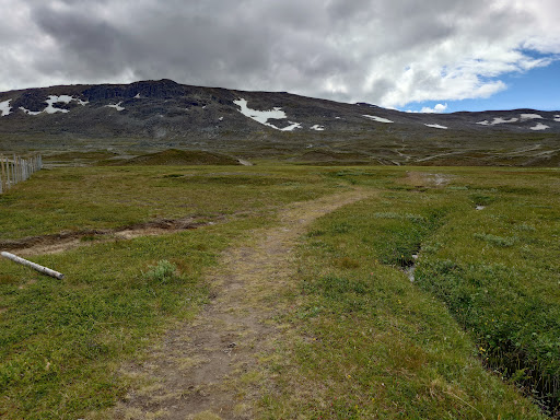
Vägen dit börjar med relativt obranta tydliga stigar tills man når den brantaste biten efter ca 30-60 minuter. Här får man klättra upp mellan stenar med händerna som hjälp. Vid branten är det svårare att hitta den markerade vägen. Man får gå efter stenröse om man hittar dem, annars är det bara att ta sig upp så ser man dem där det blir mindre brant. Väl förbi den brantaste delen så följer man ett renstängsel. Hela färden från och med här är huvudsakligen sten/blockterräng som man får gå eller hoppa mellan.
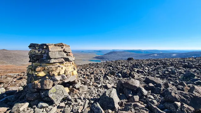
Det finns två alternativ till fortsättningen. Antingen följer man stängslet delvis runt och förlorar lite höjdmeter men får en tydligare väg med ett staket att följa (lite osäker här dock då jag inte tagit denna väg). Alternativt två så tar man sig igenom stängslet. Det fans inget speciellt ställe att ta sig igenom staketet, gå igenom eller under där ni hittar en öppning. På andra sidan stängslet är det enklast att gå rakt mot de högsta punkterna tills man når toppen på Raisduottarhaldi som är högsta berget i området och även markerat med en tydlig stor stenpelare. Från denna topp ser man Haldi i söder så fortsätter man direkt dit.
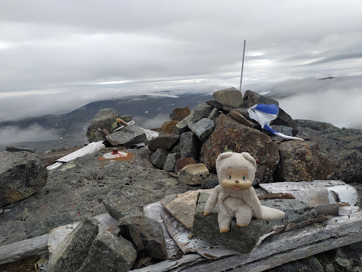
Det går alternativt att skippa Raisduottarhaldi och gå direkt diagonalt syd-sydost mot Haldi efter staketet så sparar man någon timme på turen men missar den högsta toppen på turen. Norska och finska toppen på Haldi är ca en minut vandring ifrån varandra så väl framme når man båda.
Det fanns drickbart vatten i början närmare parkeringen, efter första branten vid ett snöflak till väst samt vid några mindre vattendrag mellan Raisduottarhaldi och Haldi när jag var där i mitten av juli. Annars är det relativt torrt så...
Read more