Pic Paradis things to do, attractions, restaurants, events info and trip planning
Basic Info
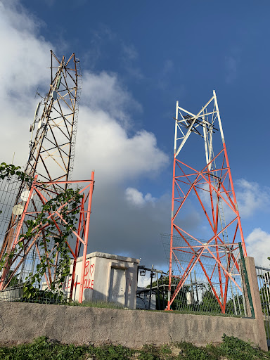
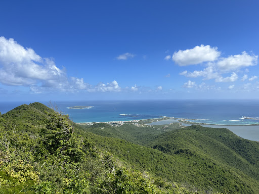
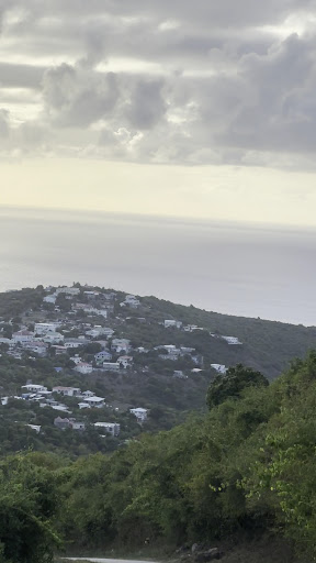
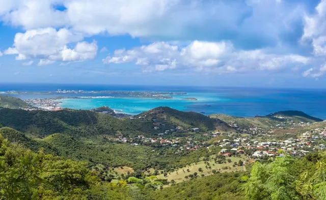
Pic Paradis
97150, St. Martin
4.5(74)
Open 24 hours
Save
spot
spot
Ratings & Description
Info
Pic Paradis or Pic du Paradis is the highest point in a chain of hills in the Collectivity of Saint Martin, an overseas collectivity of France on the island of Saint Martin, located in the Caribbean, with an elevation of 424 m, making it the highest point on the island.
Outdoor
Adventure
Scenic
attractions: , restaurants: , local businesses:
Plan your stay

Pet-friendly Hotels in Saint Martin (France)
Find a cozy hotel nearby and make it a full experience.

Affordable Hotels in Saint Martin (France)
Find a cozy hotel nearby and make it a full experience.

The Coolest Hotels You Haven't Heard Of (Yet)
Find a cozy hotel nearby and make it a full experience.

Trending Stays Worth the Hype in Saint Martin (France)
Find a cozy hotel nearby and make it a full experience.