Müggelsee things to do, attractions, restaurants, events info and trip planning
Basic Info
Müggelsee
Berlin, Germany
4.6(562)
Open 24 hours
Save
spot
spot
Ratings & Description
Info
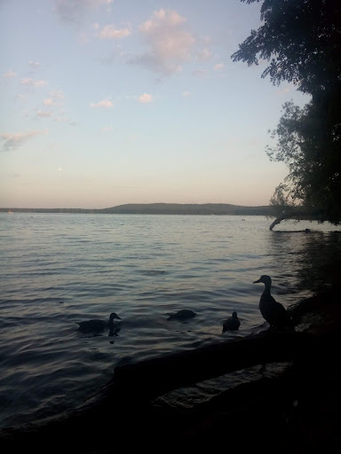
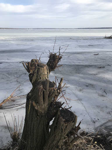
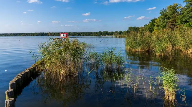
The Müggelsee, also known as the Großer Müggelsee, is a natural lake in the eastern edge of Berlin, the capital city of Germany. It is the largest of the Berlin lakes by area, with an area of 7.4 square kilometres, a length of 4.3 kilometres The lake is in the Berlin district of Treptow-Köpenick.
Outdoor
Relaxation
Scenic
Family friendly
Pet friendly
attractions: , restaurants: , local businesses: Müggelheimer Damm 143
Plan your stay

Pet-friendly Hotels in Berlin
Find a cozy hotel nearby and make it a full experience.

Affordable Hotels in Berlin
Find a cozy hotel nearby and make it a full experience.

The Coolest Hotels You Haven't Heard Of (Yet)
Find a cozy hotel nearby and make it a full experience.

Trending Stays Worth the Hype in Berlin
Find a cozy hotel nearby and make it a full experience.
Reviews
Live events
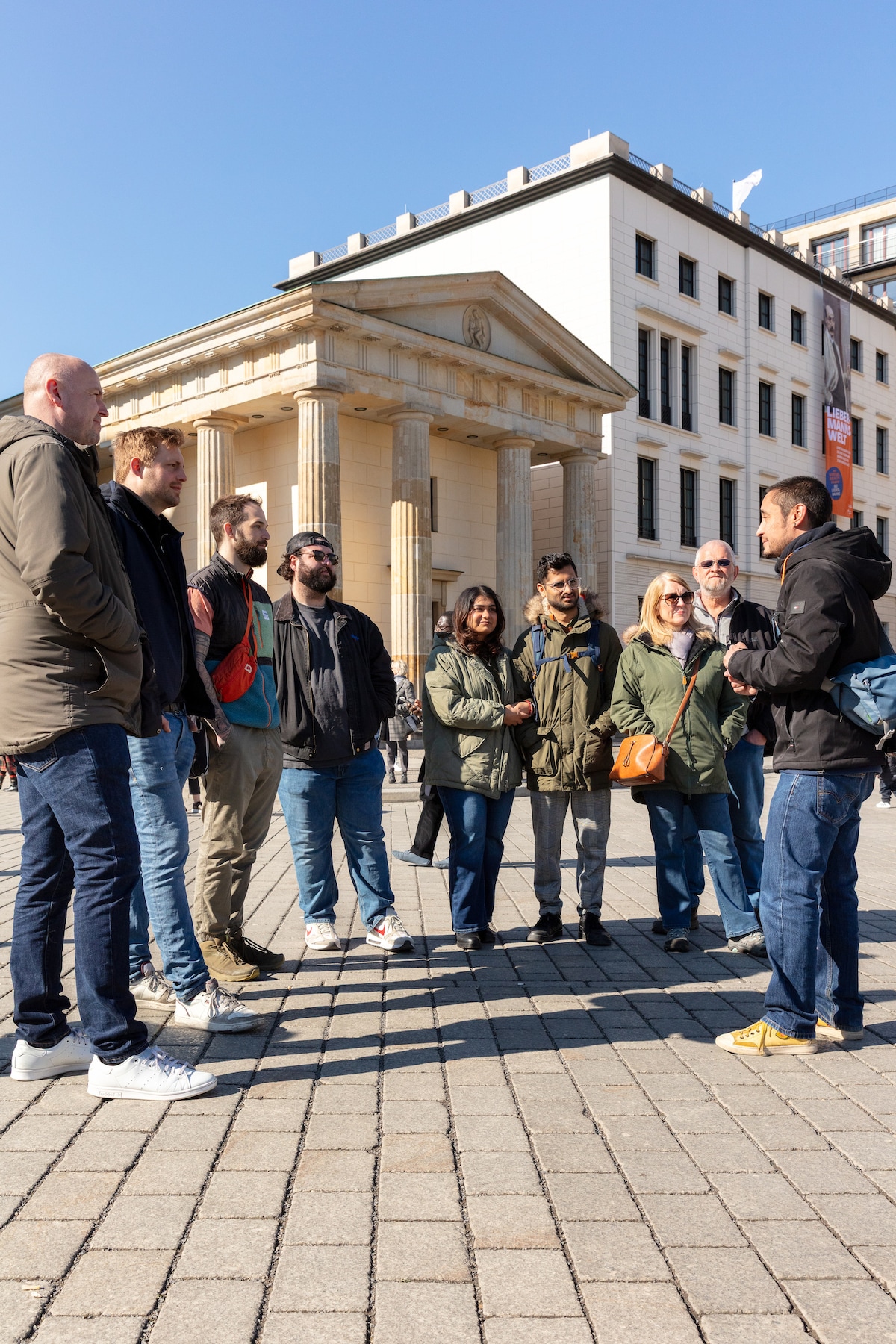
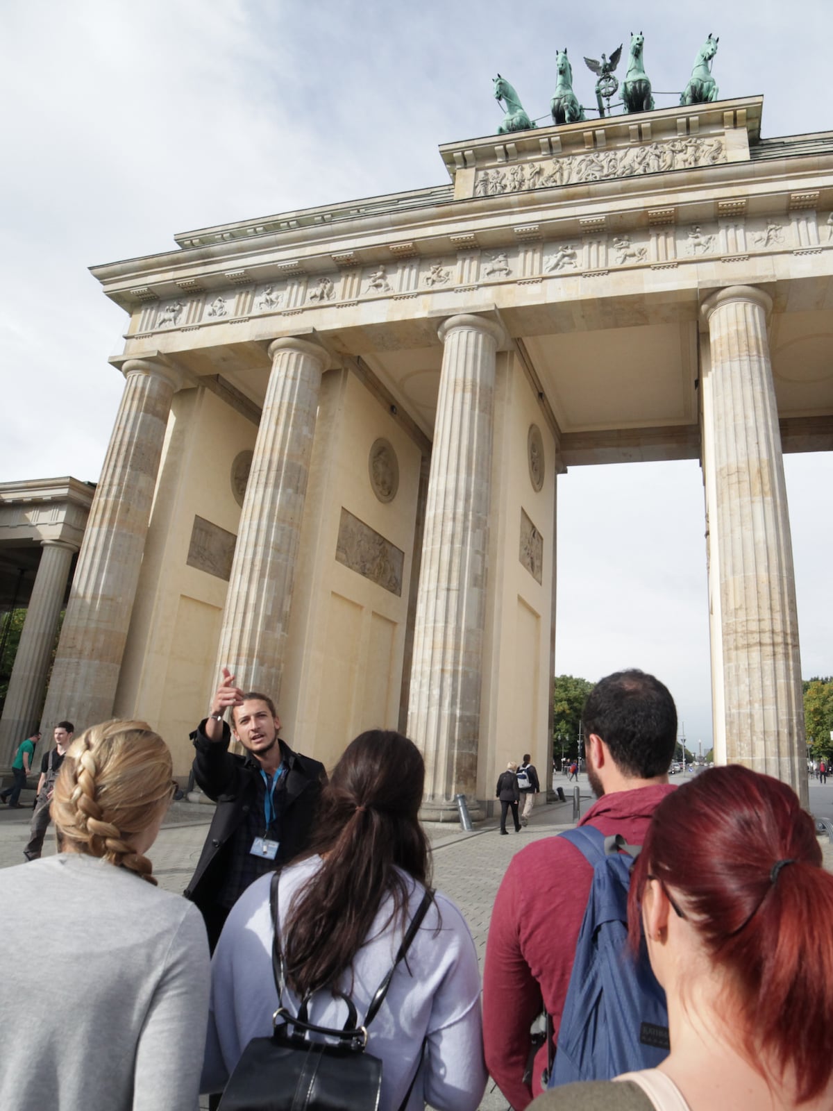
Rude Bastards Tour of® Berlin
Thu, Feb 12 • 10:00 AM
10785, Berlin, Germany
View details
Discover Berlin - Main Sights Tour in English
Thu, Feb 12 • 10:30 AM
10178, Berlin, Germany
View details

No Diet Club - The street food paradise in Berlin
Fri, Feb 13 • 12:00 PM
10115, Berlin, Germany
View details
Nearby local services of Müggelsee
Müggelheimer Damm 143
Müggelheimer Damm 143
3.9
(2K)
Click for details