Came here today with my three kids ages 6, 4, and 2, and a friend with her 6 year old. I wore the 2yo and also had an extra carrier for the 4yo, which came in very handy. I didn't bring my double BOB stroller, based on others' reviews, but looking back, it would have worked for the bulk of the walk TO the start of the rock formation, though not through it, so it would have had to be left somewhere to explore the length of the formation.
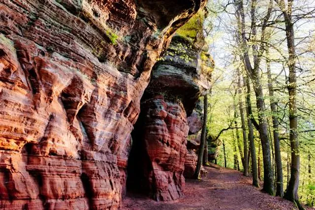
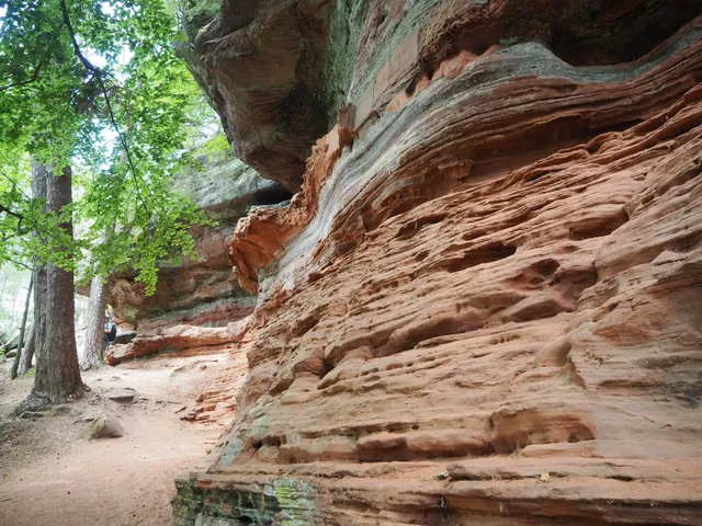
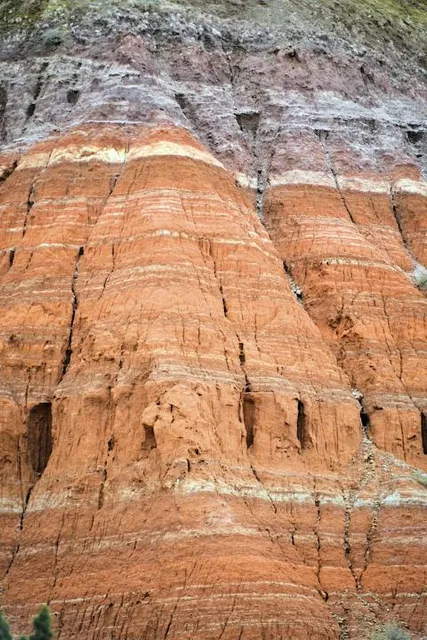
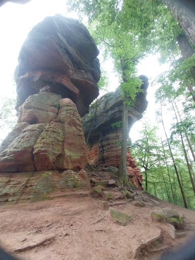
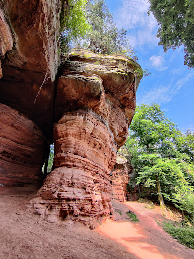
We parked at the Wanderparkplatz near the Speisweiher pond at coordinates 49.106818, 7.560586. There were many spaces, several benches, and a few informational signs on the available routes. We followed signs (as well as Komoot) to the Altschlossfelsen, bringing us to the start of the rock formation where it seems to be the "coolest" (our opinion after walking about 1km of the 2km length of the formation). Komoot told us it would be 1.7km from the lot to the start of the formation; it took us about 45m to get there walking at my 4yo's pace and 30m to get back walking at the 6yo's pace (I wore the 2 and 4yos back). The path is mostly a wide gravel, largely shaded path that would accomodate a car, flat until the last .5km or so, at which time there is a gradual incline, UNTIL the last 100 meters to the start of the formation. At this point it becomes a rocky, rooted trail with steep incline; my kids needed to use their hands to keep themselves steady a few times. This brings you to the massive sandstone rock formations that have many curiosities that look like bubbles, caves, bannisters, spindles, etc. We had a quick snack near the rock as we couldn't find a bench or picnic table (though we did end up finding a single bench during our entire walk) before we continued walking on. We walked about 400 meters to what we thought was a "corner" of the formation and decided to walk back along the other side of the formation, but somehow ended up continuing along it, which actually brought us farther southwest another .5km until we realized, and both of us are pretty good with orientation and direction, so just be aware using the rock formation as a landmark for orientation can be, well, disorienting. We corrected our course easily by just turning around and following the formation back the way we came, and made our way back to the car. Our mistake turned an almost 4km hike into a 6km hike but it was still fun and enjoyable. I suggest downloading offline maps before your walk, as none of our combined three phones had service there and it was good to have the backup guidance. There were several "routes" that had signs on the trees periodically that were NOT the basic path to and from the parking lot, so just keep that in mind. We also had a large tree branch fall not far from us, which I expect can happen anywhere but who knows. We didn't come across any food or water sources, so make sure you bring enough of that to last the 1+hour hike, as well as good shoes and a picnic blanket if you don't want to eat on a small rock ledge. If you have small children, keep a close eye on them, as some parts of the walk have steep drops from the trail, and the rock formation itself has ample opportunity for slipping and tripping and banging a head...
Read more