Katzenbuckel things to do, attractions, restaurants, events info and trip planning
Basic Info
Katzenbuckel
69429 Waldbrunn, Germany
4.7(138)
Save
spot
spot
Ratings & Description
Info
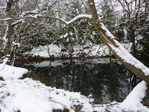
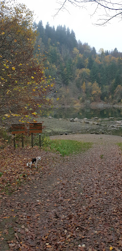
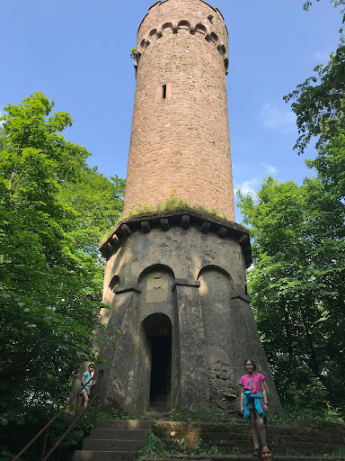
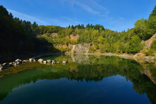
The Katzenbuckel is an extinct volcano and the highest elevation in the Odenwald region of southwest Germany. The mountain is located eastwards of Eberbach, near the village of Waldbrunn. At the top of the Katzenbuckel is an 18-m-high lookout, built out of sandstone.
Outdoor
Adventure
Scenic
Family friendly
attractions: , restaurants: , local businesses:
Plan your stay

Pet-friendly Hotels in Verwaltungsverband Neckargerach-Waldbrunn
Find a cozy hotel nearby and make it a full experience.

Affordable Hotels in Verwaltungsverband Neckargerach-Waldbrunn
Find a cozy hotel nearby and make it a full experience.

The Coolest Hotels You Haven't Heard Of (Yet)
Find a cozy hotel nearby and make it a full experience.

Trending Stays Worth the Hype in Verwaltungsverband Neckargerach-Waldbrunn
Find a cozy hotel nearby and make it a full experience.
Reviews
Live events
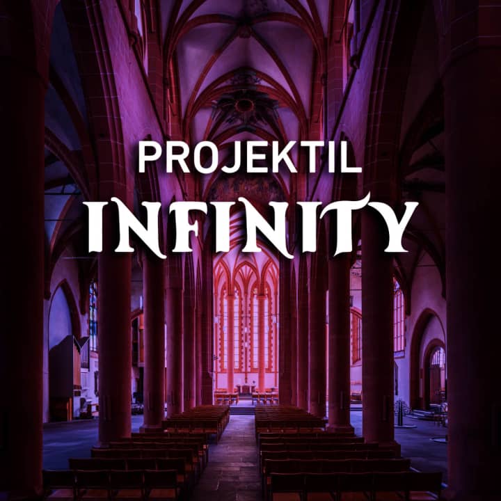
PROJEKTIL presents INFINITY – Kosmisches Staunen erleben
Tue, Feb 24 • 6:45 PM
Hauptstraße 189, Heidelberg, 69117
View details
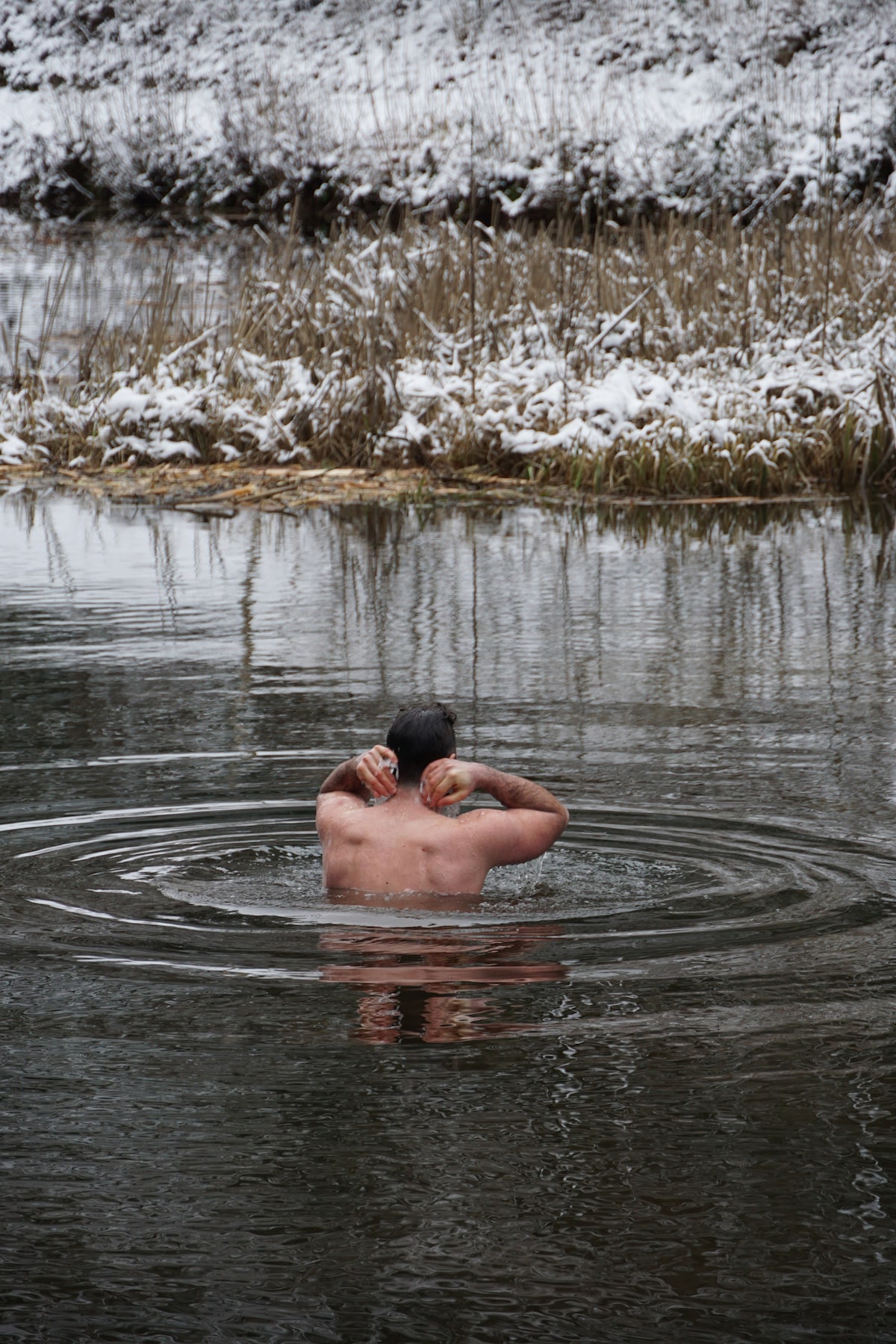
Ice bathing - out of your comfort zone
Sat, Feb 28 • 10:00 AM
64754, Oberzent, Germany
View details

Heidelberg Secrets Outdoor Exploration Game
Sun, Feb 1 • 12:00 AM
Kornmarkt 3, Heidelberg, 69117
View details