Parnitha things to do, attractions, restaurants, events info and trip planning
Basic Info
Parnitha
Acharnes 136 72, Greece
4.8(519)
Open 24 hours
Save
spot
spot
Ratings & Description
Info
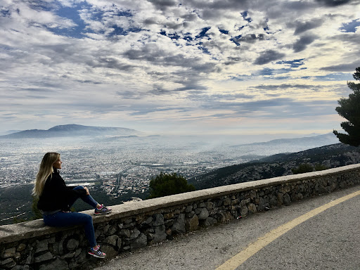
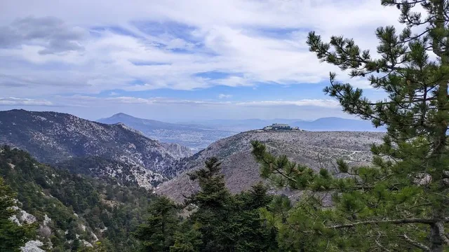
Mount Parnitha is a densely forested mountain range north of Athens, the highest on the peninsula of Attica, with an elevation of 1,413 m, and a summit known as Karavola. Much of the mountain is designated a national park, and is a protected habitat for wildfowl, first created in 1961.
Outdoor
Adventure
Scenic
Family friendly
Off the beaten path
attractions: , restaurants:
Plan your stay

Pet-friendly Hotels in Municipality of Acharnes
Find a cozy hotel nearby and make it a full experience.

Affordable Hotels in Municipality of Acharnes
Find a cozy hotel nearby and make it a full experience.

The Coolest Hotels You Haven't Heard Of (Yet)
Find a cozy hotel nearby and make it a full experience.

Trending Stays Worth the Hype in Municipality of Acharnes
Find a cozy hotel nearby and make it a full experience.
Reviews
Things to do nearby
See the Acropolis with a licensed guide
Sun, Dec 28 • 8:00 AM
117 42, Athens, Greece
View details
Awful Athens
Tue, Dec 30 • 3:00 PM
104 33, Athens, Greece
View details

Taste hidden Athenian flavors on culinary romp
Mon, Dec 29 • 9:00 AM
105 54, Athens, Greece
View details