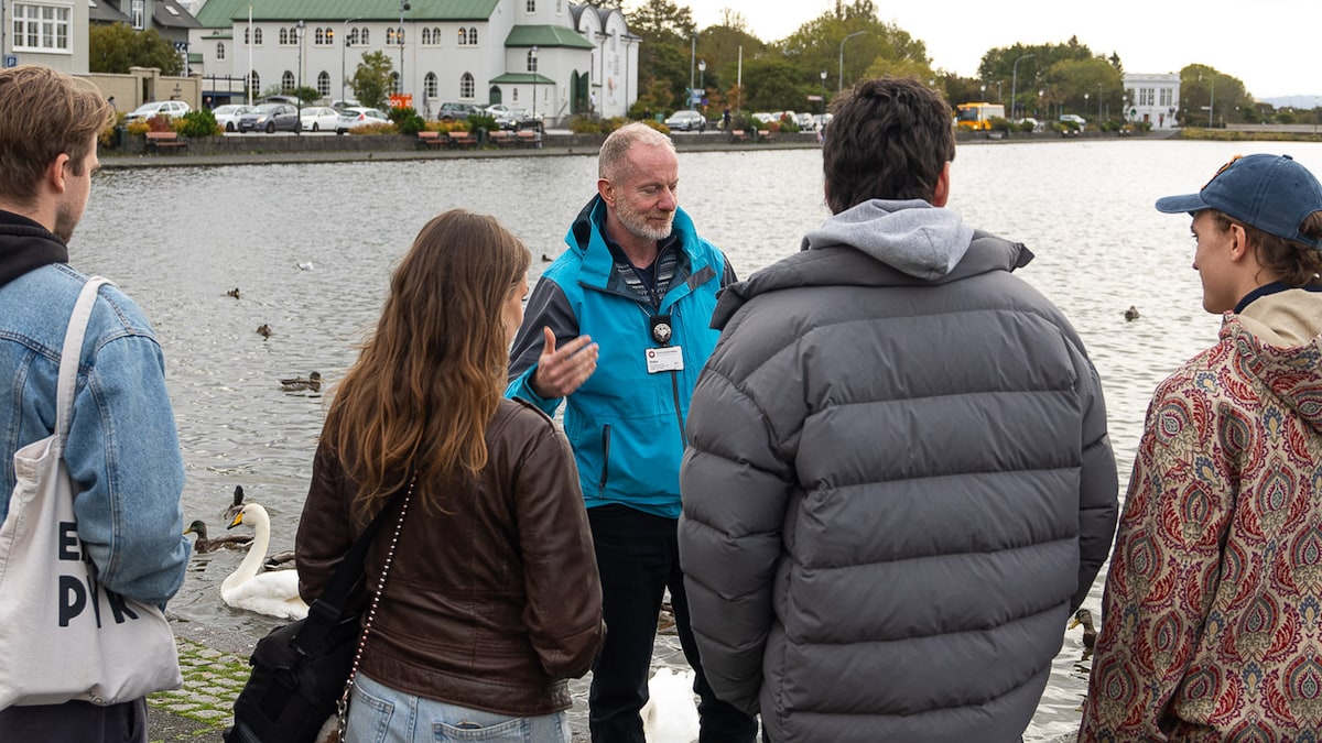
Fagradalsfjall Volcano things to do, attractions, restaurants, events info and trip planning
Basic Info
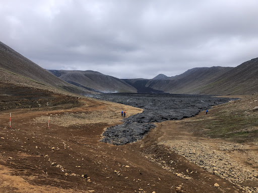
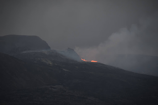
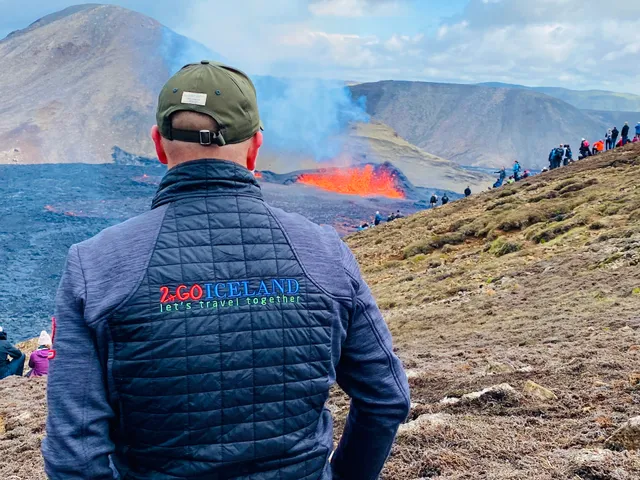
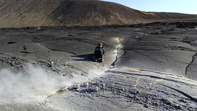
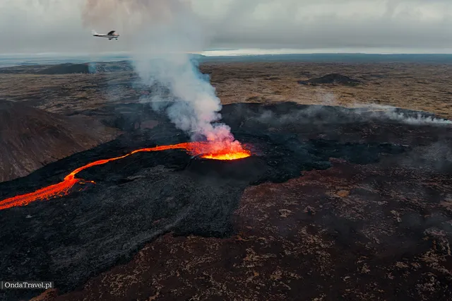
Fagradalsfjall Volcano
Suðurstrandarvegur, 240 Grindavik, Iceland
4.8(331)
Open until 12:00 AM


tickets
Save
spot
spot
Ratings & Description
Info
Outdoor
Adventure
Scenic
Off the beaten path
attractions: Geldingadalir Volcano, Geldingardalir, restaurants: , local businesses: Fagradalsfjall
Website
fagradalsfjallvolcanotours.com
Open hoursSee all hours
FriOpen 24 hoursOpen
Plan your stay

Pet-friendly Hotels in Iceland
Find a cozy hotel nearby and make it a full experience.

Affordable Hotels in Iceland
Find a cozy hotel nearby and make it a full experience.

The Coolest Hotels You Haven't Heard Of (Yet)
Find a cozy hotel nearby and make it a full experience.

Trending Stays Worth the Hype in Iceland
Find a cozy hotel nearby and make it a full experience.
Reviews
Live events
Ride a horse through lava fields with a guide
Sun, Feb 22 • 10:00 AM
220, Hafnarfjörður, Iceland
View details

Make an Icelandic wool monster - Private Workshop
Fri, Feb 20 • 5:00 PM
225, Alftanes, Iceland
View details
The Private Riveting Reykjanes Town Walking Tour
Fri, Feb 20 • 3:00 PM
260, Njarðvík, Iceland
View details
Nearby attractions of Fagradalsfjall Volcano
Geldingadalir Volcano
Geldingardalir
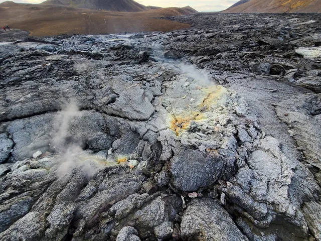
Geldingadalir Volcano
4.8
(164)
Open until 12:00 AM
Click for details
Geldingardalir
4.8
(11)
Open 24 hours
Click for details
Nearby local services of Fagradalsfjall Volcano
Fagradalsfjall
Fagradalsfjall
4.8
(400)
Click for details