Gosanimari Rajpat things to do, attractions, restaurants, events info and trip planning
Basic Info
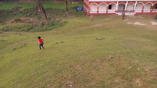
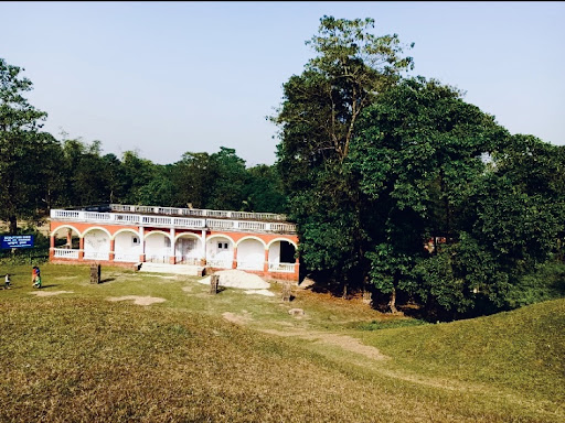
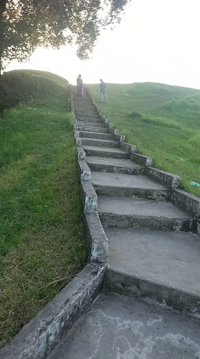
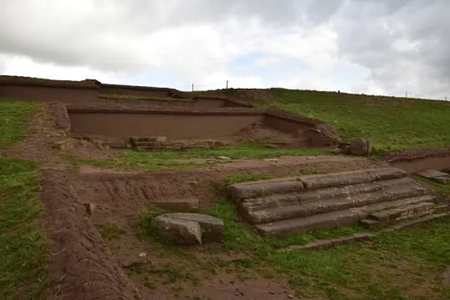
Gosanimari Rajpat
5922+G38, Dist, Gosanimari, Kamtapur, West Bengal 736145, India
4.1(492)
Open until 6:00 PM
Save
spot
spot
Ratings & Description
Info
Rajpat or Kamtapur Fort is an archaeological site in present-day Gosanimari in the Dinhata I CD block in the Dinhata subdivision of the Cooch Behar district in West Bengal, India.
Cultural
Family friendly
attractions: , restaurants: , local businesses:
Open hoursSee all hours
Wed9 AM - 6 PMOpen
Plan your stay

Pet-friendly Hotels in Dinhata - I
Find a cozy hotel nearby and make it a full experience.

Affordable Hotels in Dinhata - I
Find a cozy hotel nearby and make it a full experience.

The Coolest Hotels You Haven't Heard Of (Yet)
Find a cozy hotel nearby and make it a full experience.

Trending Stays Worth the Hype in Dinhata - I
Find a cozy hotel nearby and make it a full experience.