Narasimhaghada-Jamalabad Fort-Gadayikal things to do, attractions, restaurants, events info and trip planning

Basic Info
Narasimhaghada-Jamalabad Fort-Gadayikal
Gutthu Road, Narasimhaghada, Gadayikal, Nada, Karnataka 574214, India
4.6(403)
Open until 3:30 PM
Save
spot
spot
Ratings & Description
Info
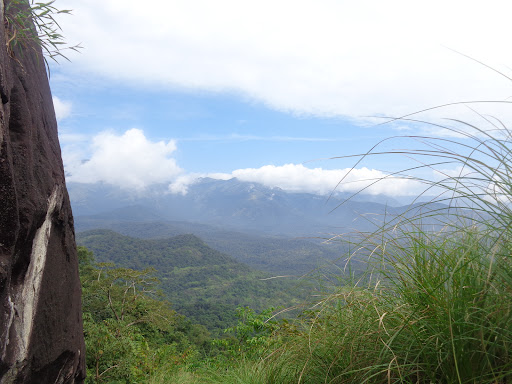
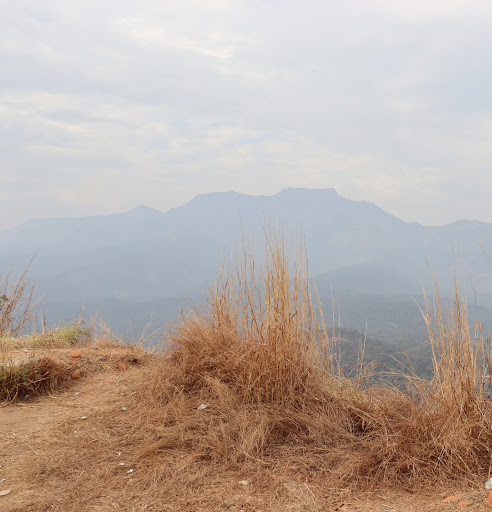
Jamalabad Fort is an old hilltop fortification in Killoor road, Belthangady, Dakshina Kannada District, Karnataka, India. It is located in the Kudremukh range of hills, 8 km north of Beltangady town and 65 km from the city of Mangalore. It is also referred locally as "Jamalabad Fort" or "Gadaikallu".
Outdoor
Adventure
Scenic
Cultural
Off the beaten path
attractions: , restaurants: , local businesses:
Open hoursSee all hours
Fri7:30 AM - 3:30 PMOpen
Plan your stay

Pet-friendly Hotels in Karnataka
Find a cozy hotel nearby and make it a full experience.

Affordable Hotels in Karnataka
Find a cozy hotel nearby and make it a full experience.

The Coolest Hotels You Haven't Heard Of (Yet)
Find a cozy hotel nearby and make it a full experience.

Trending Stays Worth the Hype in Karnataka
Find a cozy hotel nearby and make it a full experience.