Puncak Gunung Agung Bali things to do, attractions, restaurants, events info and trip planning
Basic Info
Puncak Gunung Agung Bali
Ban, Kubu, Karangasem Regency, Bali 80853, Indonesia
4.8(142)
Open until 12:00 AM
Save
spot
spot
Ratings & Description
Info
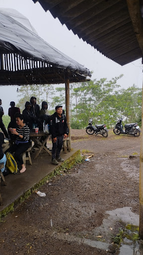
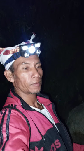
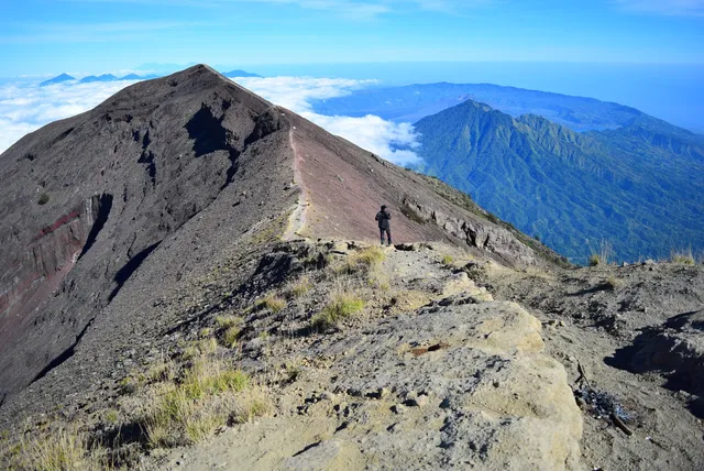
Mount Agung is an active volcano in Bali, Indonesia, southeast of Mount Batur volcano, also in Bali. It is the highest point on Bali, and dominates the surrounding area, influencing the climate, especially rainfall patterns. From a distance, the mountain appears to be perfectly conical.
Outdoor
Adventure
Scenic
Off the beaten path
attractions: , restaurants: , local businesses: Mount Agung
Website
instagram.com
Open hoursSee all hours
SunOpen 24 hoursOpen
Plan your stay

Pet-friendly Hotels in Kecamatan Kubu
Find a cozy hotel nearby and make it a full experience.

Affordable Hotels in Kecamatan Kubu
Find a cozy hotel nearby and make it a full experience.

The Coolest Hotels You Haven't Heard Of (Yet)
Find a cozy hotel nearby and make it a full experience.

Trending Stays Worth the Hype in Kecamatan Kubu
Find a cozy hotel nearby and make it a full experience.
Reviews
Live events
Ubud Bali Silver Jewelry Class
Mon, Feb 23 • 9:00 AM
Tegallalang, Bali, 80561, Indonesia
View details
Learn Balinese cooking on organic farm
Tue, Feb 24 • 9:30 AM
Tampaksiring, Bali, 80552, Indonesia
View details

Mount Batur Sunrise Jeep Tour & Hot Spring
Mon, Feb 23 • 3:00 AM
Kintamani, Bali, 80652, Indonesia
View details
Nearby local services of Puncak Gunung Agung Bali
Mount Agung

Mount Agung
4.4
(1.1K)
Click for details