Nature Reserve Nahal Amud things to do, attractions, restaurants, events info and trip planning
Basic Info
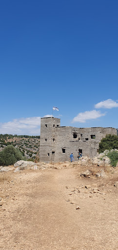
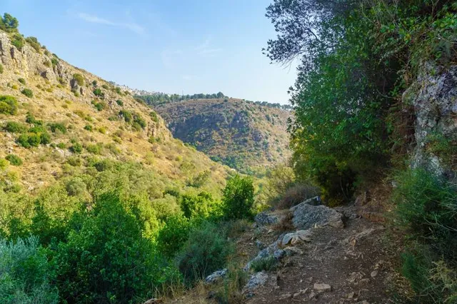
Nature Reserve Nahal Amud
שמורת טבע נחל עמוד, Israel
4.6(875)
Open until 4:00 PM

tickets
Save
spot
spot
Ratings & Description
Info
Outdoor
Adventure
Family friendly
attractions: , restaurants: , local businesses:
Phone
+972 4-699-9984
Website
parks.org.il
Open hoursSee all hours
Mon8 a.m. - 4 p.m.Open
Plan your stay

Pet-friendly Hotels in Merom HaGalil Regional Council
Find a cozy hotel nearby and make it a full experience.

Affordable Hotels in Merom HaGalil Regional Council
Find a cozy hotel nearby and make it a full experience.

The Coolest Hotels You Haven't Heard Of (Yet)
Find a cozy hotel nearby and make it a full experience.

Trending Stays Worth the Hype in Merom HaGalil Regional Council
Find a cozy hotel nearby and make it a full experience.