Valle del Cosia things to do, attractions, restaurants, events info and trip planning
Basic Info
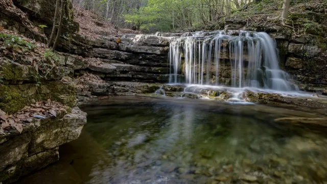
Valle del Cosia
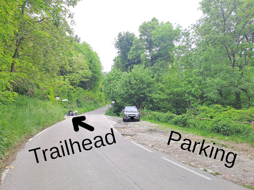
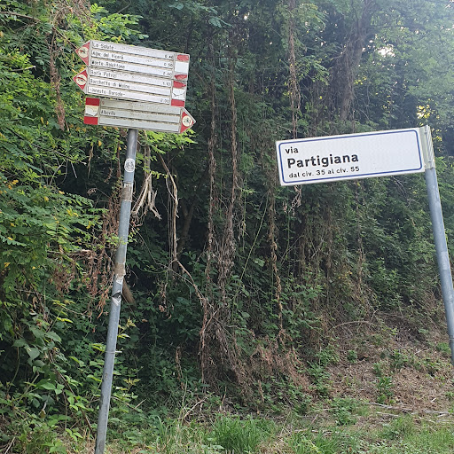
Via Partigiana, 22031 Albavilla CO, Italy
4.7(24)
Open until 12:00 AM
Save
spot
spot
Ratings & Description
Info
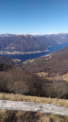
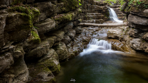
Outdoor
Scenic
Adventure
Family friendly
Pet friendly
Off the beaten path
attractions: , restaurants: , local businesses:
Open hoursSee all hours
WedOpen 24 hoursOpen
Plan your stay

Pet-friendly Hotels in Albavilla
Find a cozy hotel nearby and make it a full experience.

Affordable Hotels in Albavilla
Find a cozy hotel nearby and make it a full experience.

The Coolest Hotels You Haven't Heard Of (Yet)
Find a cozy hotel nearby and make it a full experience.

Trending Stays Worth the Hype in Albavilla
Find a cozy hotel nearby and make it a full experience.
Reviews
Live events

Libri in scena | Vito Mancuso al Teatro Manzoni
Wed, Feb 11 • 8:30 PM
23 Via Alessandro Manzoni 20900 Monza
View details

Crea il tuo Videogioco! STEM Lab & Robotica con Minecraft, Scratch (Monza)
Sat, Feb 14 • 10:00 AM
10 Via Vincenzo Bellini, 20900 Monza
View details
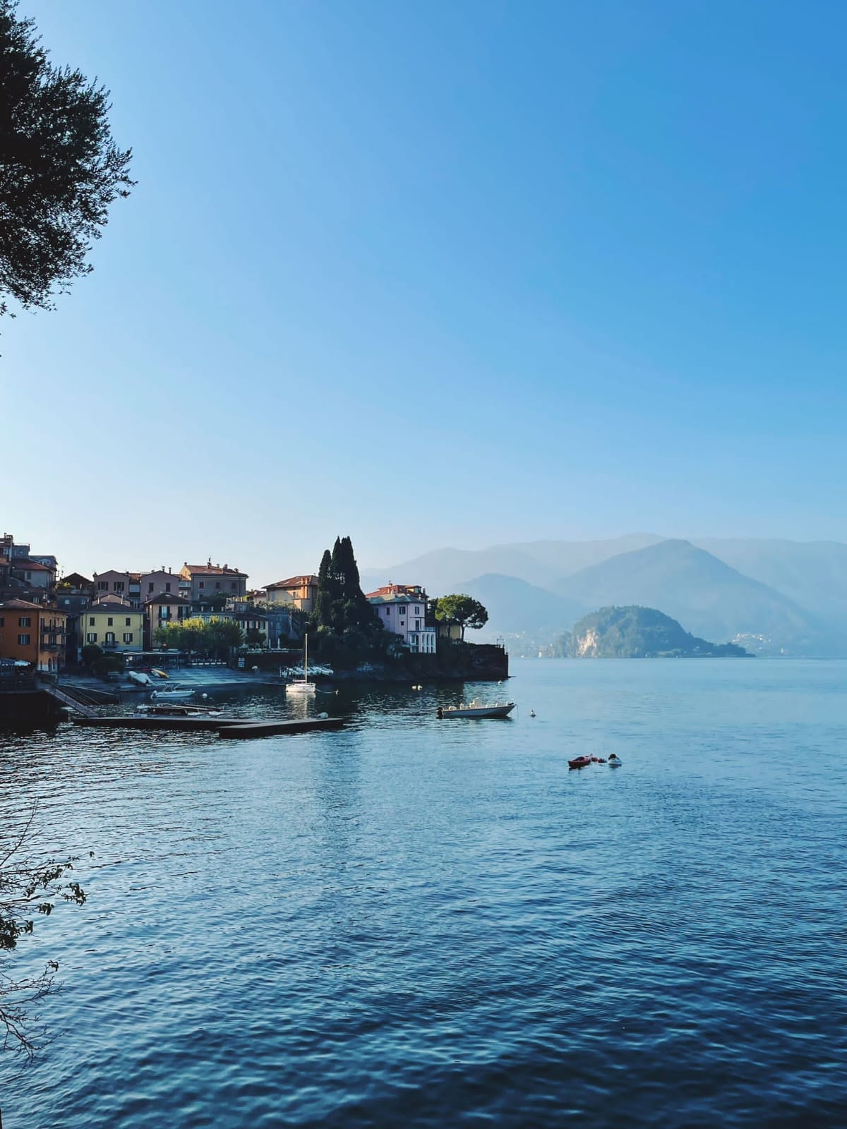
Explore Lake Como and region
Wed, Feb 11 • 9:30 AM
23829, Varenna, Lombardia, Italy
View details