Valle dei Progni di Fumane things to do, attractions, restaurants, events info and trip planning
Basic Info
Valle dei Progni di Fumane
37020 Sant'Anna d'Alfaedo, Province of Verona, Italy
4.9(30)
Open until 12:00 AM
Save
spot
spot
Ratings & Description
Info
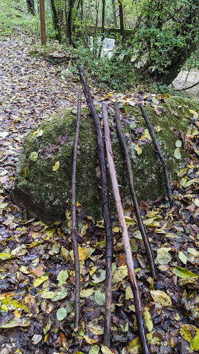
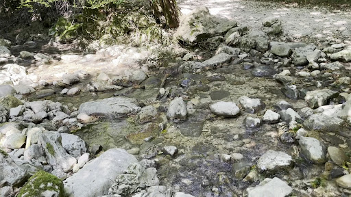
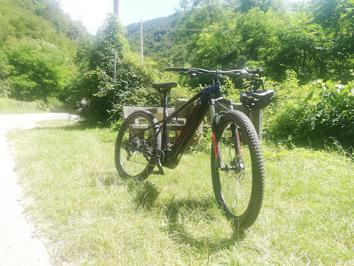
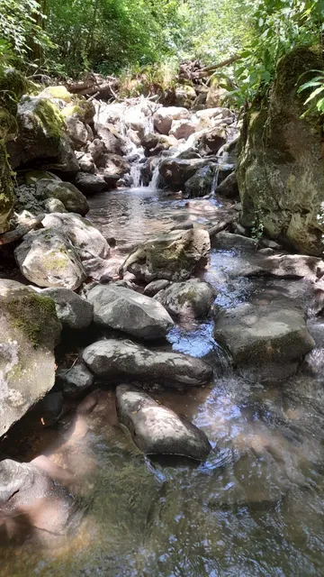
Outdoor
Adventure
Scenic
Family friendly
Pet friendly
Off the beaten path
attractions: , restaurants: Chesini Italo, local businesses:
Website
calabreselevi.it
Open hoursSee all hours
SunOpen 24 hoursOpen
Plan your stay

Pet-friendly Hotels in Fumane
Find a cozy hotel nearby and make it a full experience.

Affordable Hotels in Fumane
Find a cozy hotel nearby and make it a full experience.

The Coolest Hotels You Haven't Heard Of (Yet)
Find a cozy hotel nearby and make it a full experience.

Trending Stays Worth the Hype in Fumane
Find a cozy hotel nearby and make it a full experience.
Reviews
Live events

The Lovers & Friends
Sat, Feb 14 • 10:00 PM
39B Via Tombetta 37135 Verona
View details

Opera Concert in Verona
Fri, Feb 13 • 7:00 PM
Via dei Mutilati, 6, Verona, 37122
View details
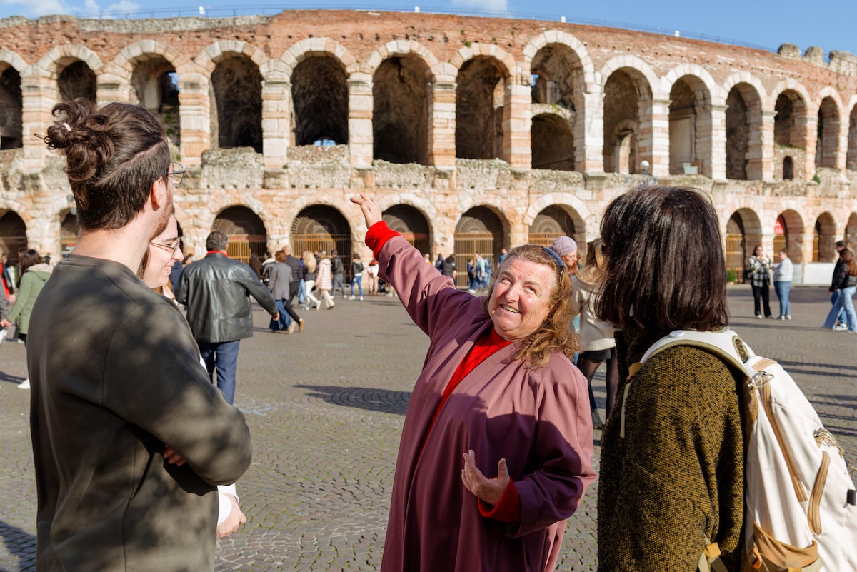
Live the true history of Verona
Sun, Feb 8 • 1:30 PM
37121, Verona, Veneto, Italy
View details
Nearby restaurants of Valle dei Progni di Fumane
Chesini Italo
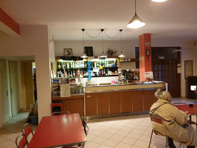
Chesini Italo
3.5
(60)
Click for details