Rutor Falls things to do, attractions, restaurants, events info and trip planning

Basic Info
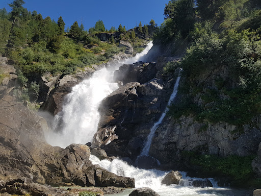
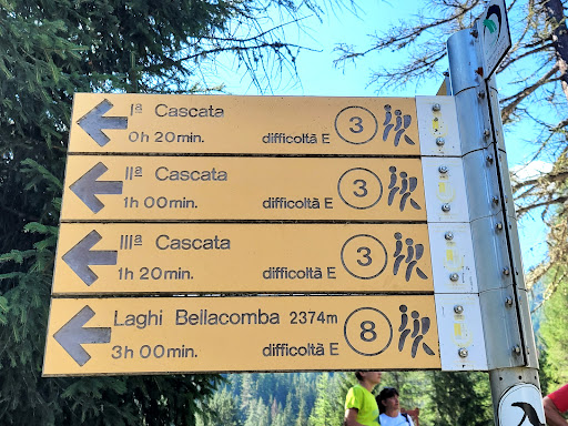
Rutor Falls
Frazione Entreves, 81, 11016 La Thuile AO, Italy
4.8(512)
Open until 12:00 AM
Save
spot
spot
Ratings & Description
Info
Outdoor
Adventure
Scenic
Family friendly
Pet friendly
attractions: , restaurants: , local businesses:
Open hoursSee all hours
MonOpen 24 hoursOpen
Plan your stay

Pet-friendly Hotels in La Thuile
Find a cozy hotel nearby and make it a full experience.

Affordable Hotels in La Thuile
Find a cozy hotel nearby and make it a full experience.

The Coolest Hotels You Haven't Heard Of (Yet)
Find a cozy hotel nearby and make it a full experience.

Trending Stays Worth the Hype in La Thuile
Find a cozy hotel nearby and make it a full experience.
Reviews
Live events

Fly a tandem paraglider in Chamonix
Mon, Feb 23 • 9:00 AM
74400, Chamonix, France
View details

Yoga Icebreaker Chamonix
Wed, Feb 25 • 7:30 PM
163 Rue Joseph Vallot 74400 Chamonix-Mont-Blanc
View details