Magnodeno things to do, attractions, restaurants, events info and trip planning
Basic Info
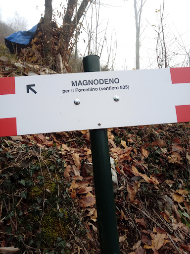
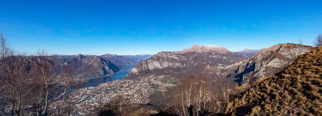
Magnodeno
23900 Lecco, Province of Lecco, Italy
4.9(25)
Save
spot
spot
Ratings & Description
Info
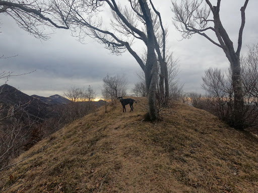
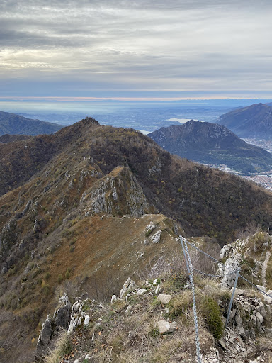
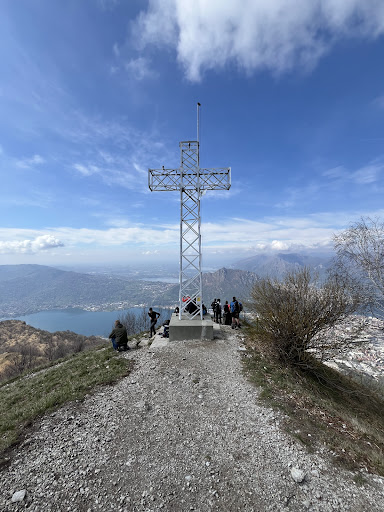
Outdoor
Adventure
Scenic
Off the beaten path
attractions: , restaurants: , local businesses: Capanna Alpinisti Monzesi
Plan your stay

Pet-friendly Hotels in Lecco
Find a cozy hotel nearby and make it a full experience.

Affordable Hotels in Lecco
Find a cozy hotel nearby and make it a full experience.

The Coolest Hotels You Haven't Heard Of (Yet)
Find a cozy hotel nearby and make it a full experience.

Trending Stays Worth the Hype in Lecco
Find a cozy hotel nearby and make it a full experience.
Reviews
Live events

Scienza e pace
Thu, Feb 26 • 6:00 PM
1 Via Vincenzo Bellini 22100 Como
View details

Salsa for beginners in English!
Thu, Feb 26 • 7:00 PM
9 Via Tommaso Grossi 22100 Como
View details

Tangible Intelligence: Making the Invisible Visible
Fri, Feb 27 • 5:00 PM
16 Via Astino 24129 Bergamo
View details
Nearby local services of Magnodeno
Capanna Alpinisti Monzesi
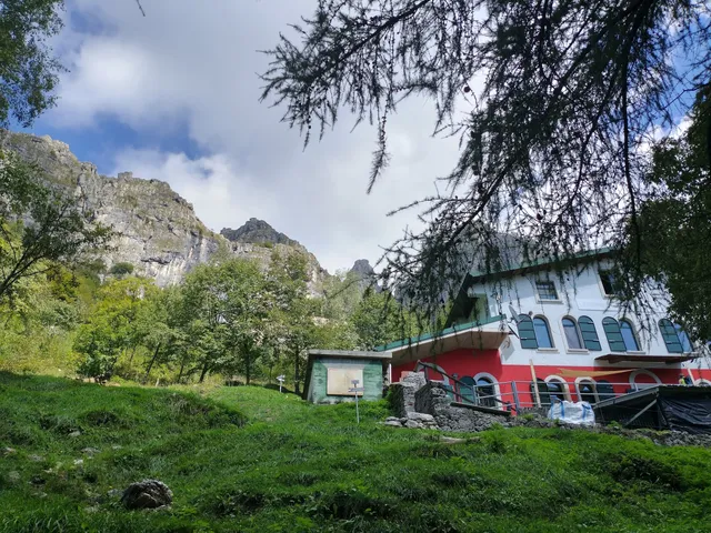
Capanna Alpinisti Monzesi
4.1
(282)
Click for details