Necropolis of Pantalica things to do, attractions, restaurants, events info and trip planning
Basic Info
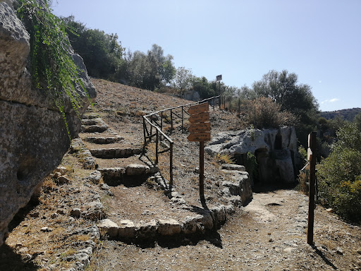
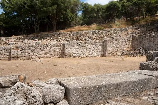
Necropolis of Pantalica
necropoli di Pantalica, 96010 Sortino SR, Italy
4.6(630)
Open until 7:30 PM
Save
spot
spot
Ratings & Description
Info
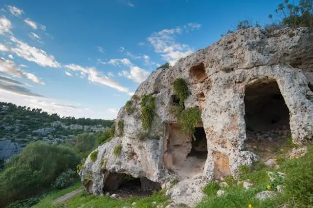
The Necropolis of Pantalica is a collection of cemeteries with rock-cut chamber tombs in southeast Sicily, Italy. Dating from the 13th to the 7th centuries BC, there was thought to be over 5,000 tombs, although the most recent estimate suggests a figure of just under 4,000.
Cultural
Outdoor
Adventure
Scenic
Off the beaten path
attractions: Grotta dei pipistrelli, Riserva naturale orientata Pantalica, Valle dell'Anapo e Torrente Cava Grande, Anaktoron Pantalica, restaurants: , local businesses:
Phone
+39 0931 870136
Website
pantalica.org
Open hoursSee all hours
Sat7 a.m. - 7:30 p.m.Open
Plan your stay

Pet-friendly Hotels in Sortino
Find a cozy hotel nearby and make it a full experience.

Affordable Hotels in Sortino
Find a cozy hotel nearby and make it a full experience.

The Coolest Hotels You Haven't Heard Of (Yet)
Find a cozy hotel nearby and make it a full experience.

Trending Stays Worth the Hype in Sortino
Find a cozy hotel nearby and make it a full experience.
Reviews
Live events

Cook, eat & live like a true Sicilian
Mon, Feb 23 • 10:30 AM
96015, Francofonte, Sicily, Italy
View details
Explore marine caves and syracuse
Sat, Feb 21 • 10:00 AM
96100, Syracuse, Sicily, Italy
View details
Slowlife Family Farm Cook With Us - Farm To Table
Tue, Feb 24 • 9:30 AM
96017, Noto, Sicily, Italy
View details
Nearby attractions of Necropolis of Pantalica
Grotta dei pipistrelli
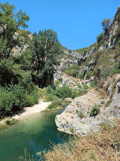
Riserva naturale orientata Pantalica, Valle dell'Anapo e Torrente Cava Grande
Anaktoron Pantalica
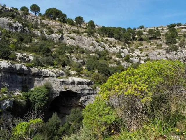
Grotta dei pipistrelli
4.5
(65)
Open until 12:00 AM
Click for details
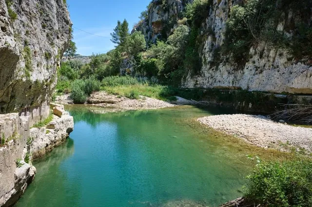
Riserva naturale orientata Pantalica, Valle dell'Anapo e Torrente Cava Grande
4.6
(339)
Open until 8:00 PM
Click for details
Anaktoron Pantalica
4.5
(104)
Open 24 hours
Click for details