Monte Crocione things to do, attractions, restaurants, events info and trip planning

Basic Info
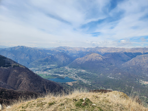
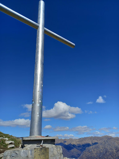
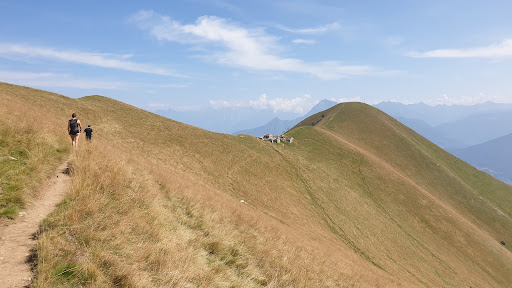
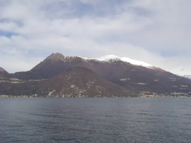
Monte Crocione
22016 Tremezzina, Province of Como, Italy
4.8(209)
Open until 12:00 AM
Save
spot
spot
Ratings & Description
Info
Outdoor
Adventure
Scenic
Off the beaten path
Pet friendly
attractions: , restaurants: , local businesses: Monte di Tremezzo
Open hoursSee all hours
SatOpen 24 hoursOpen
Plan your stay

Pet-friendly Hotels in Tremezzina
Find a cozy hotel nearby and make it a full experience.

Affordable Hotels in Tremezzina
Find a cozy hotel nearby and make it a full experience.

The Coolest Hotels You Haven't Heard Of (Yet)
Find a cozy hotel nearby and make it a full experience.

Trending Stays Worth the Hype in Tremezzina
Find a cozy hotel nearby and make it a full experience.
Reviews
Live events

2° incontro: La metà scomparsa, Brit Bennett
Mon, Feb 23 • 6:30 PM
83 Viale Lecco 22100 Como
View details

Scienza e pace
Thu, Feb 26 • 6:00 PM
1 Via Vincenzo Bellini 22100 Como
View details
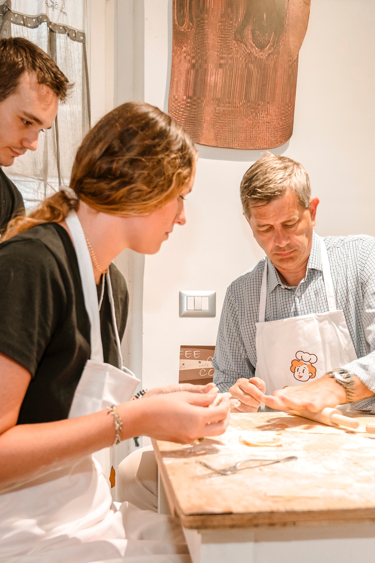
Make pasta and tiramisu in Como
Sat, Feb 21 • 5:00 PM
22100, Como, Lombardy, Italy
View details
Nearby local services of Monte Crocione
Monte di Tremezzo
Monte di Tremezzo
4.6
(26)
Click for details