Monte Lema things to do, attractions, restaurants, events info and trip planning
Basic Info
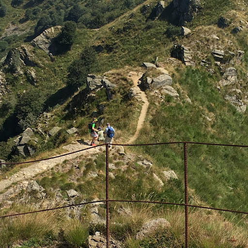
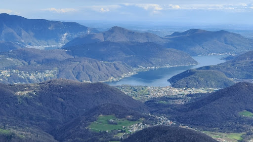
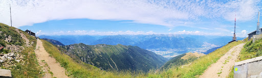
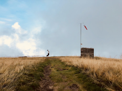
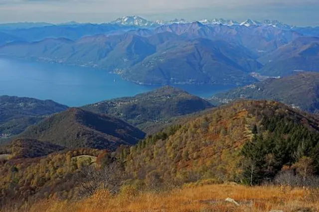
Monte Lema
6986 Miglieglia, Switzerland
4.6(108)
Open 24 hours
Save
spot
spot
Ratings & Description
Info
Outdoor
Adventure
Scenic
Relaxation
Family friendly
attractions: , restaurants: Ristorante Lema 1624, local businesses:
Plan your stay

Pet-friendly Hotels in Unione dei comuni Lombarda Prealpi
Find a cozy hotel nearby and make it a full experience.

Affordable Hotels in Unione dei comuni Lombarda Prealpi
Find a cozy hotel nearby and make it a full experience.

The Coolest Hotels You Haven't Heard Of (Yet)
Find a cozy hotel nearby and make it a full experience.

Trending Stays Worth the Hype in Unione dei comuni Lombarda Prealpi
Find a cozy hotel nearby and make it a full experience.
Reviews
Live events
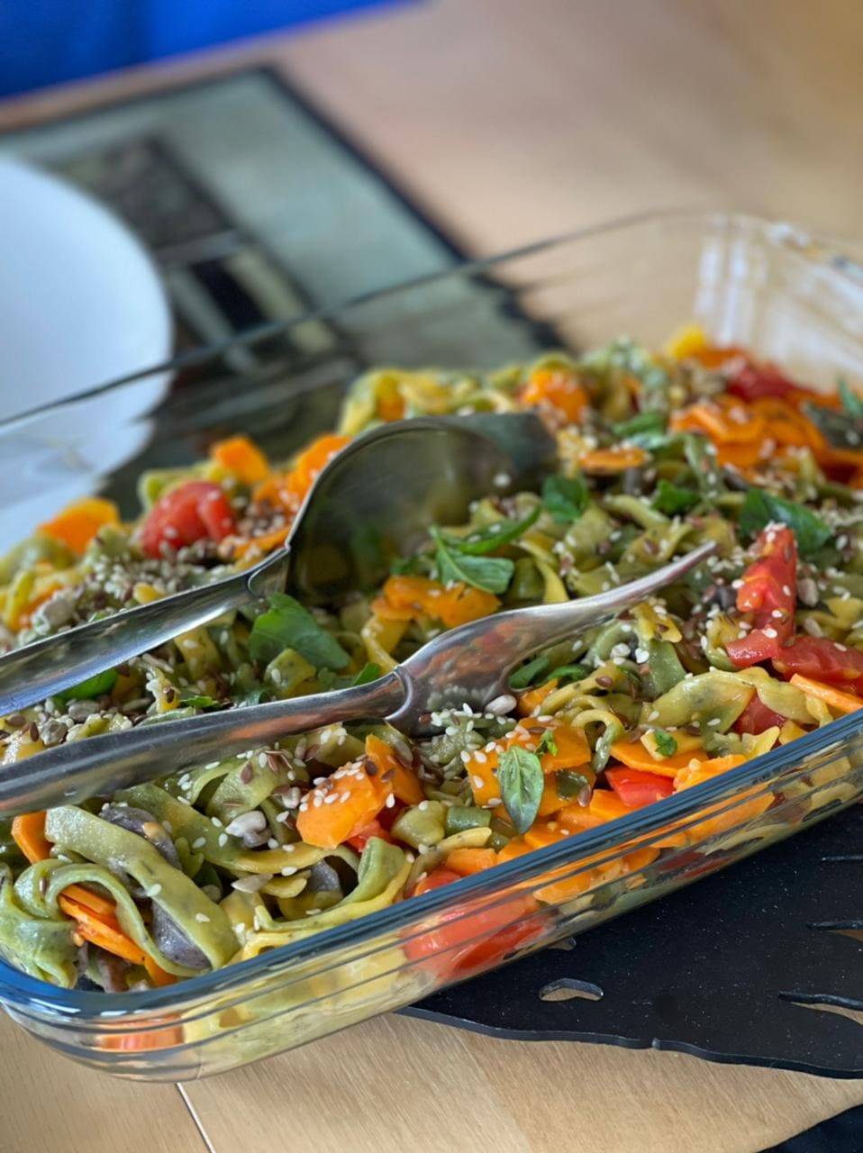
Make colored pasta and ravioli in Lake Como
Mon, Jan 19 • 6:00 PM
22012, Cernobbio, Lombardy, Italy
View details
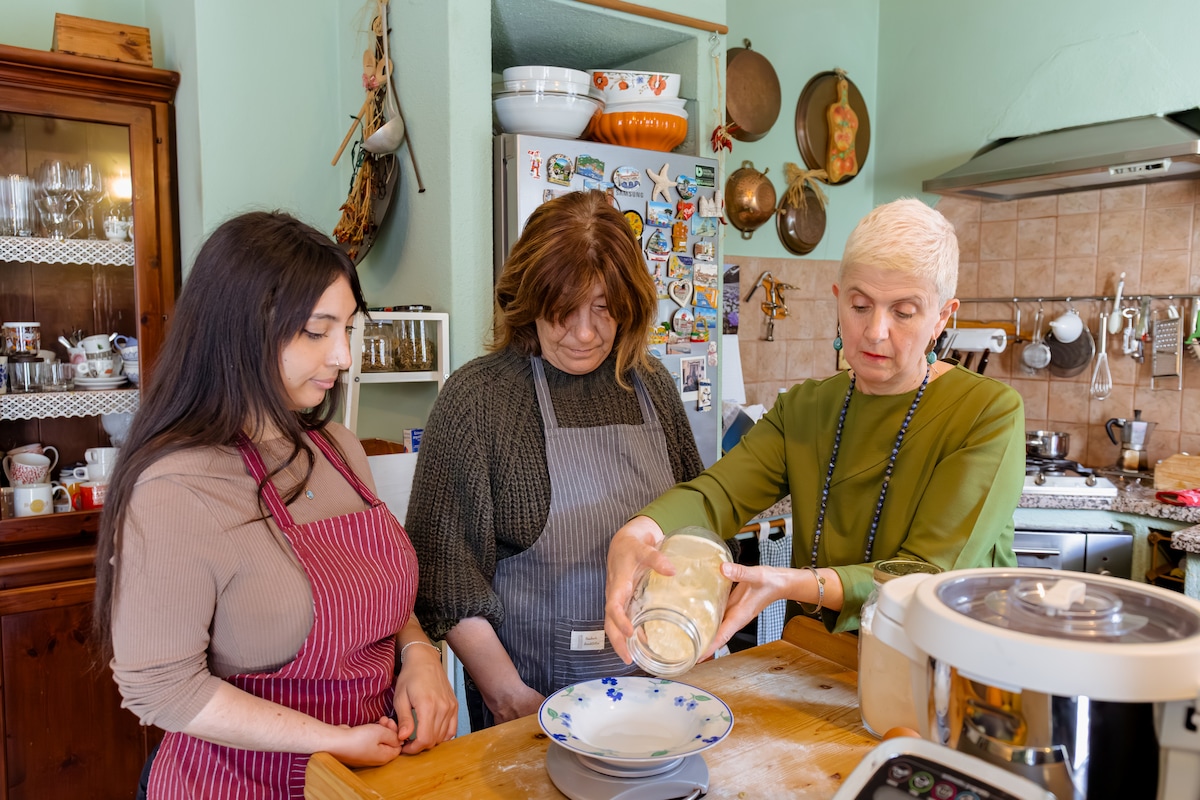
Make fresh pasta with Parmesan cheese
Wed, Jan 21 • 7:00 PM
22010, Codogna-Cardano, Lombardy, Italy
View details

Strike a pose in charming Lugano neighborhoods
Sun, Jan 18 • 3:00 PM
6900, Lugano, Switzerland
View details
Nearby restaurants of Monte Lema
Ristorante Lema 1624
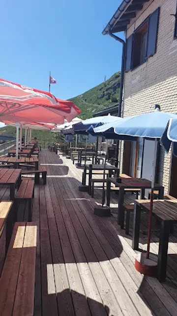
Ristorante Lema 1624
4.3
(210)
Click for details