Ōyama Botanical Park Observatory things to do, attractions, restaurants, events info and trip planning
Basic Info
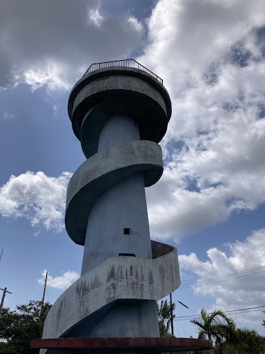
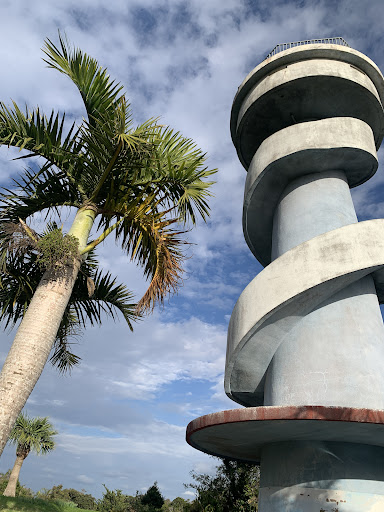
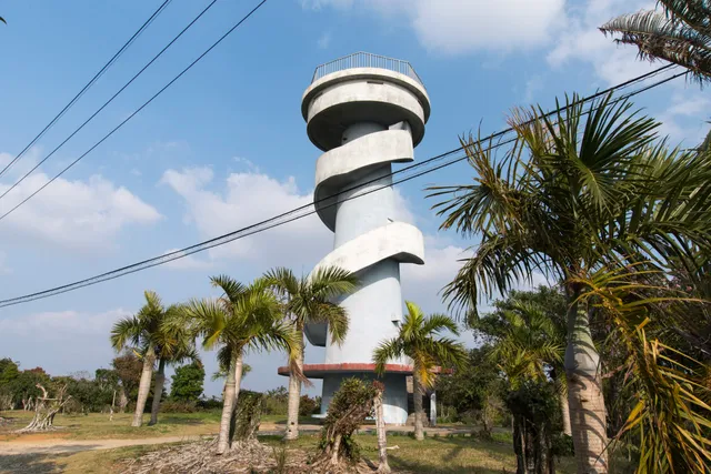
Ōyama Botanical Park Observatory
Kuronuki, China, Oshima District, Kagoshima 891-9212, Japan
3.6(54)
Open 24 hours
Save
spot
spot
Ratings & Description
Info
Outdoor
Scenic
Cultural
Family friendly
Accessibility
attractions: , restaurants: , local businesses:
Phone
+81 997-84-3162
Website
okinoerabujima.info
Plan your stay

Pet-friendly Hotels in China
Find a cozy hotel nearby and make it a full experience.

Affordable Hotels in China
Find a cozy hotel nearby and make it a full experience.

The Coolest Hotels You Haven't Heard Of (Yet)
Find a cozy hotel nearby and make it a full experience.

Trending Stays Worth the Hype in China
Find a cozy hotel nearby and make it a full experience.