Cape Nagasakibana things to do, attractions, restaurants, events info and trip planning
Basic Info
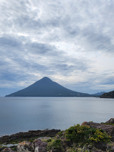
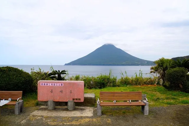
Cape Nagasakibana
Japan, 〒891-0513 Kagoshima, Ibusuki, Yamagawaokachogamizu, 長崎鼻
4.4(654)
Open until 12:00 AM
Save
spot
spot
Ratings & Description
Info
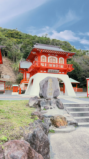
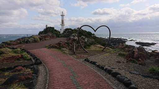
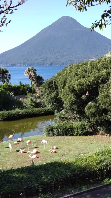
Nagasakibana is the most southern headland on the Satsuma Peninsula at the entrance to Kagoshima Bay. The cape has a lighthouse, is the location of a statue of Urashima Tarō, the fisherman in a Japanese fairy tale, and the Ryūgū Shrine.
Outdoor
Scenic
Adventure
attractions: Ryugu Shrine, restaurants: , local businesses: Nagasakibana Parking Garden
Phone
+81 993-22-2111
Website
ibusuki.or.jp
Open hoursSee all hours
SatOpen 24 hoursOpen
Plan your stay

Pet-friendly Hotels in Ibusuki
Find a cozy hotel nearby and make it a full experience.

Affordable Hotels in Ibusuki
Find a cozy hotel nearby and make it a full experience.

The Coolest Hotels You Haven't Heard Of (Yet)
Find a cozy hotel nearby and make it a full experience.

Trending Stays Worth the Hype in Ibusuki
Find a cozy hotel nearby and make it a full experience.
Reviews
Nearby attractions of Cape Nagasakibana
Ryugu Shrine
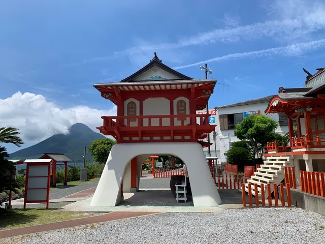
Ryugu Shrine
3.9
(897)
Open until 12:00 AM
Click for details
Nearby local services of Cape Nagasakibana
Nagasakibana Parking Garden
Nagasakibana Parking Garden
3.7
(357)
Click for details