Mount Yōtei things to do, attractions, restaurants, events info and trip planning
Basic Info
Mount Yōtei
Kawanishi, Kyogoku, Abuta District, Hokkaido 044-0131, Japan
4.6(463)
Save
spot
spot
Ratings & Description
Info
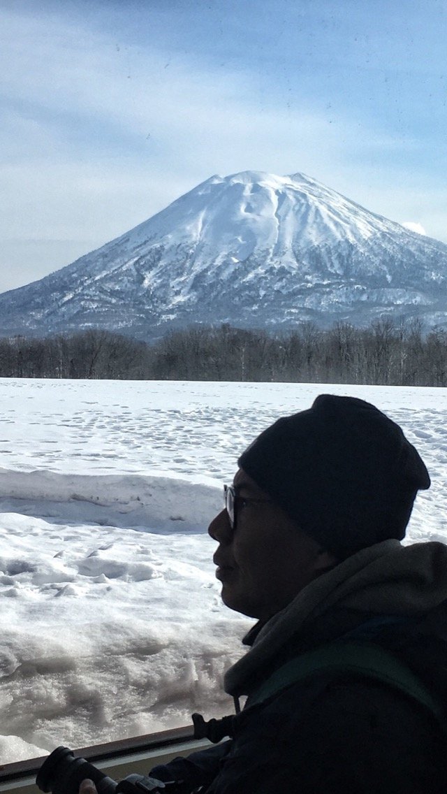
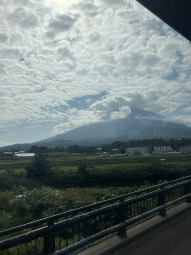
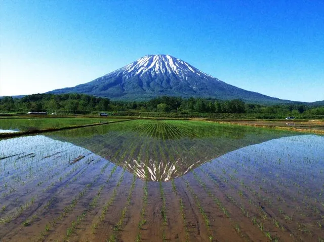
Mount Yōtei is an active stratovolcano located in Shikotsu-Toya National Park, Hokkaidō, Japan. It is also called Yezo Fuji or Ezo Fuji, "Ezo" being an old name for the island of Hokkaido, because it resembles Mount Fuji. The mountain is also known as Makkari Nupuri and Mount Shiribeshi.
Outdoor
Adventure
Scenic
Off the beaten path
attractions: , restaurants: , local businesses:
Plan your stay

Pet-friendly Hotels in Kutchan
Find a cozy hotel nearby and make it a full experience.

Affordable Hotels in Kutchan
Find a cozy hotel nearby and make it a full experience.

The Coolest Hotels You Haven't Heard Of (Yet)
Find a cozy hotel nearby and make it a full experience.

Trending Stays Worth the Hype in Kutchan
Find a cozy hotel nearby and make it a full experience.
Reviews
Live events
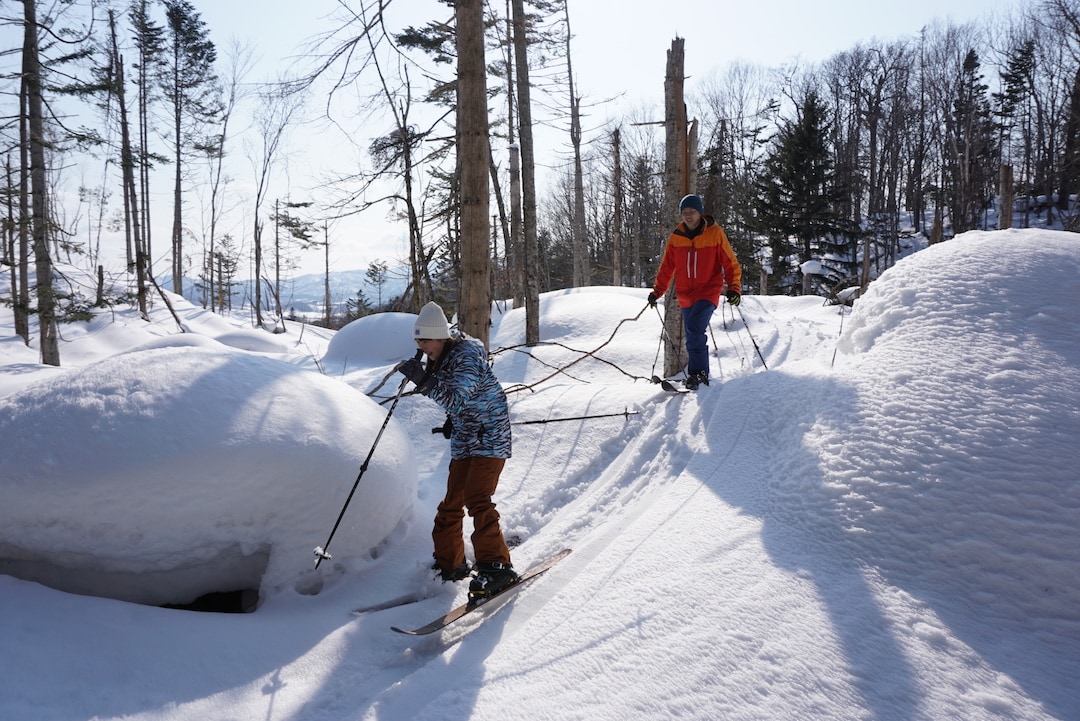
Snowhiking in the secret forest -Private tour-
Sat, Feb 21 • 9:00 AM
Hokkaido, Kutchan, Abuta District, Japan
View details
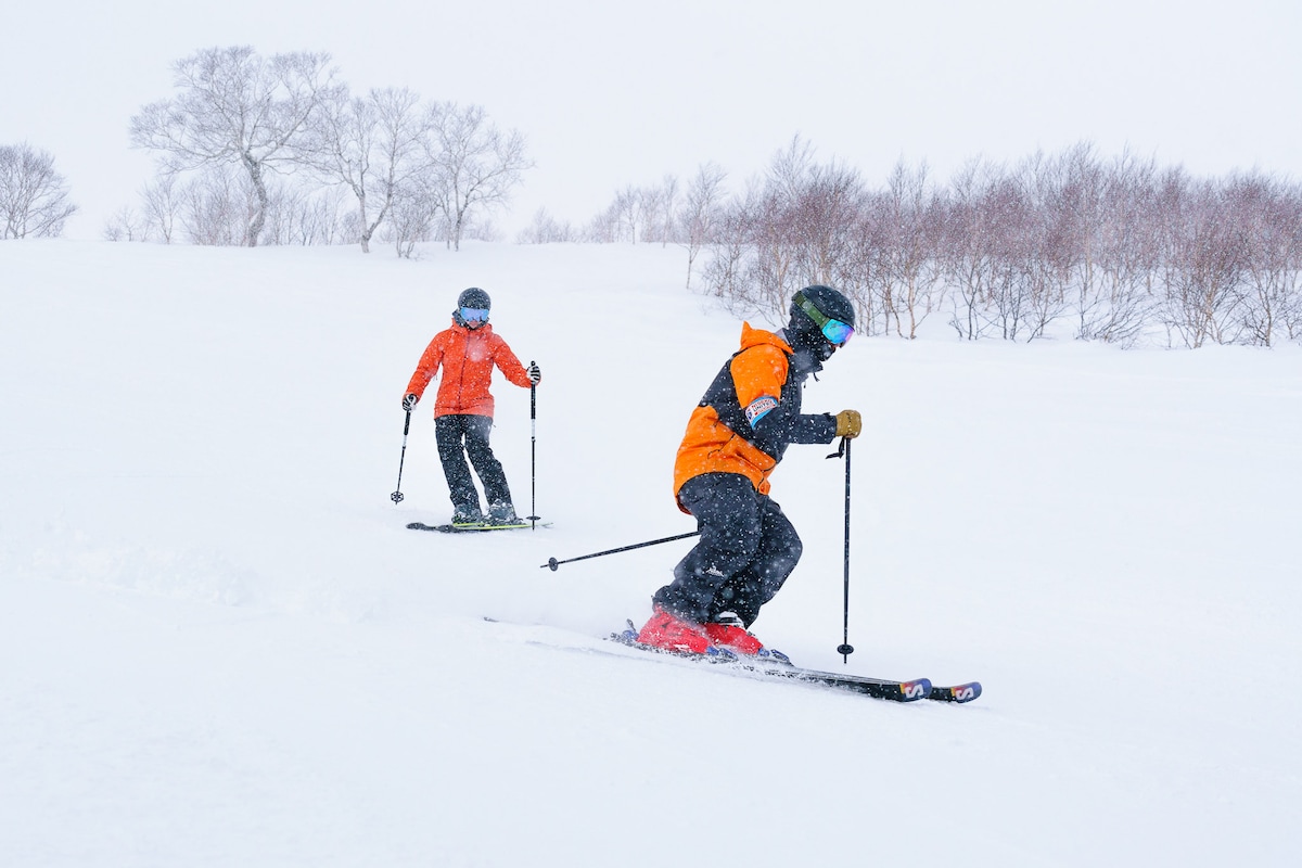
Discover Skiing – First Time Experience in Japan
Sat, Feb 21 • 8:30 AM
044-0080, Hokkaido, Kutchan, Abuta District, Japan
View details
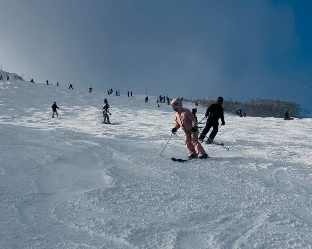
Build confidence on the slopes
Sat, Feb 21 • 8:30 AM
044-0081, Hokkaido, Kutchan, Abuta District, Japan
View details