Atera Valley things to do, attractions, restaurants, events info and trip planning
Basic Info
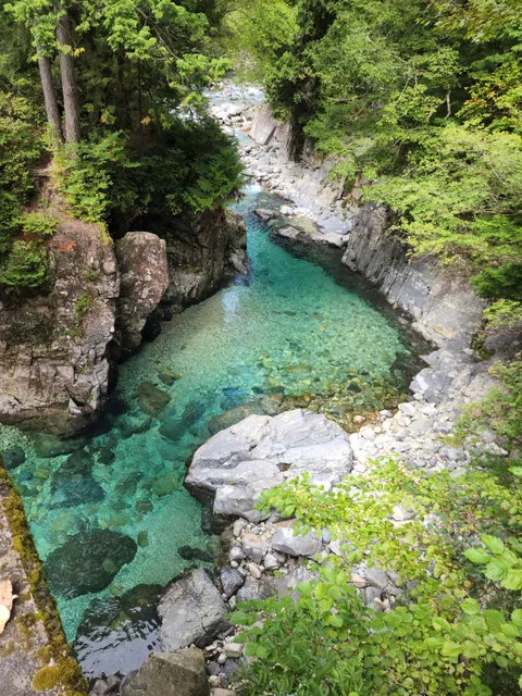
Atera Valley
Nojiri, Okuwa, Kiso District, Nagano 399-5504, Japan
4.5(587)
Open 24 hours
Save
spot
spot
Ratings & Description
Info
Outdoor
Adventure
Scenic
Off the beaten path
attractions: , restaurants: , local businesses:
Phone
+81 70-9295-6191
Website
vill.okuwa.lg.jp
Plan your stay

Pet-friendly Hotels in Ookuwa
Find a cozy hotel nearby and make it a full experience.

Affordable Hotels in Ookuwa
Find a cozy hotel nearby and make it a full experience.

The Coolest Hotels You Haven't Heard Of (Yet)
Find a cozy hotel nearby and make it a full experience.

Trending Stays Worth the Hype in Ookuwa
Find a cozy hotel nearby and make it a full experience.
Reviews
Live events
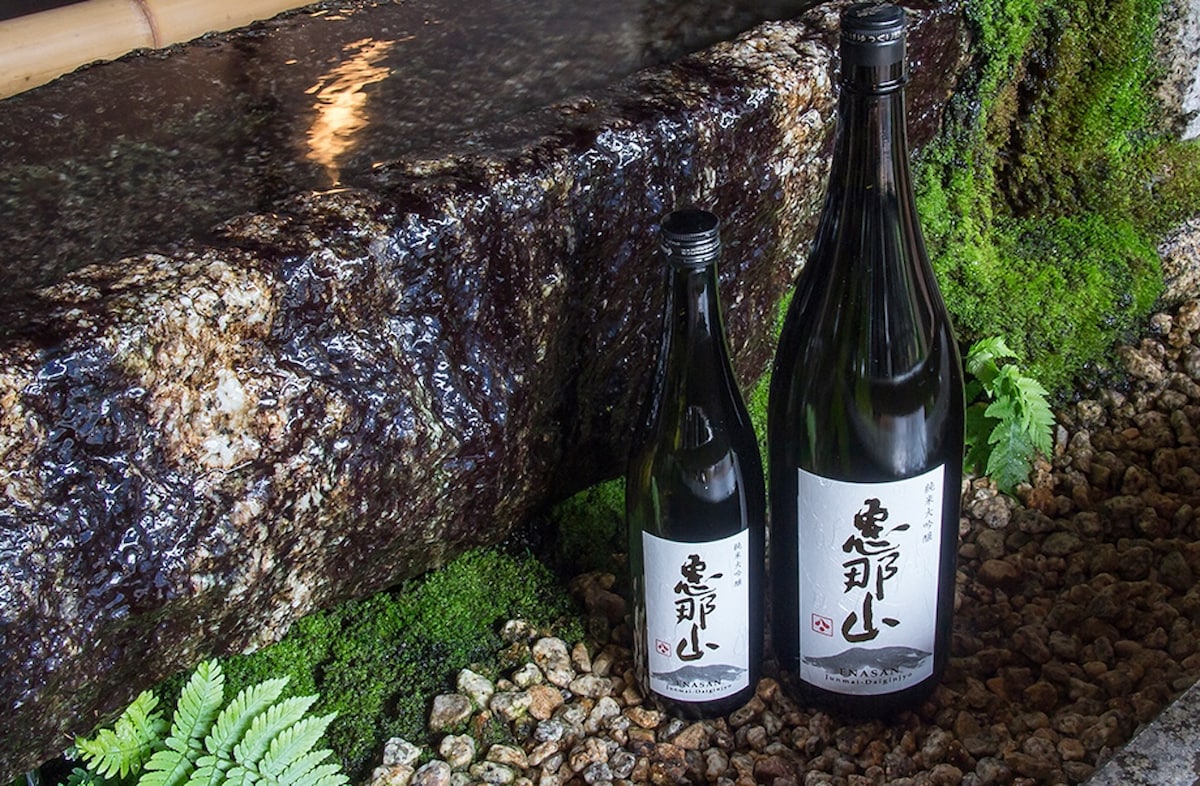
Experience at Hazama Brewery at Hazama Sake Brewery
Tue, Feb 24 • 9:00 AM
508-0041, Gifu, Nakatsugawa, Japan
View details


